 |
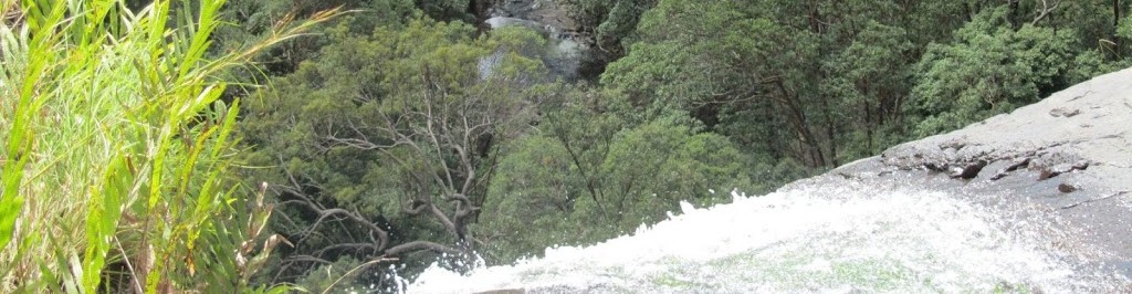
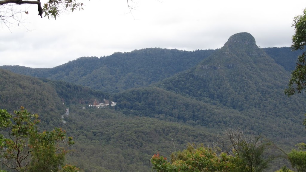
| View from the Governor’s Chair, Spicer’s Gap |
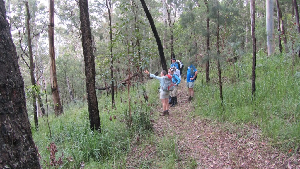
It is a fortnight since our first walk and time for the second. This time we are just south of our first walk on the Mt Matheson Circuit at Spicer’s Gap. Once again, Teresa of Horizon Guides is our guide. Yesterday was a bit of a wet day with minor flooding being reported in Ipswich and Brisbane so we were a little apprehensive whether the walk would go ahead. But today was a lovely day with a cooler south easterly blowing.
So in the words of Teresa, today’s walk is:
Walk 2: Mt Matheson Circuit (Main Range NP) 8km. Easy short rough sections.
Date: Sunday 18th March
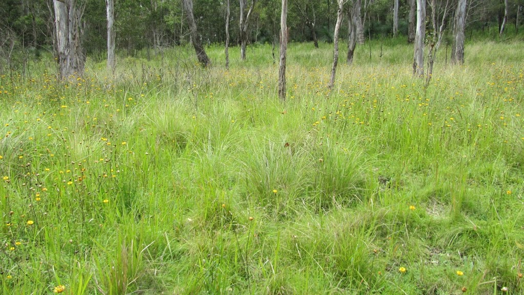
Description: This walk is one of the most diverse and historically interesting circuits on the Range. Starting at the Spicer’s Gap picnic area near the pioneer grave site the track climbs gradually through a patch of rainforest before coming onto a ridgeline of open eucalypt forest. From Mt Matheson (752m) the track follows a sharp ridge with bird’s eye views of the Great Divide. Small volcanic cliffs add variety with ferns and orchids sheltering in their crevices. Turning southwest the track meanders through rainforest before opening out onto old logging tracks and joining the historic basalt-cobbled pioneer road. This takes us back to the start via the Governors Chair lookout and Moss’s Well.
Once again we gathered at Aratula before driving to Spicer’s Gap picnic area. First up we had a look at the pioneer graves. It is believed that there are thirteen people buried here but except for a few concrete bollards and a stone cairn, you wouldn’t know.
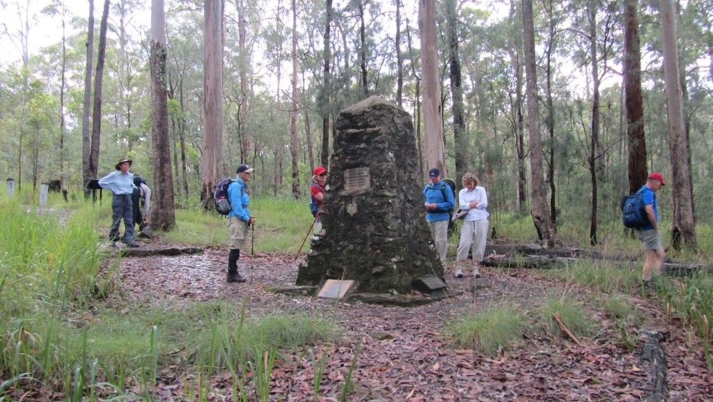 |
| Mr Harry Johns, a teacher at Milford, together with his sons and the Ipswich Boys Scouts, built this cairn so that the memory of the pioneer graves would not be lost. |
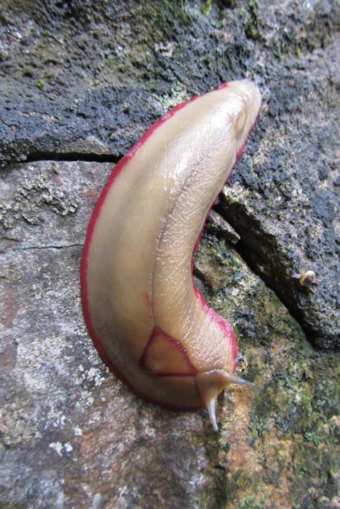 |
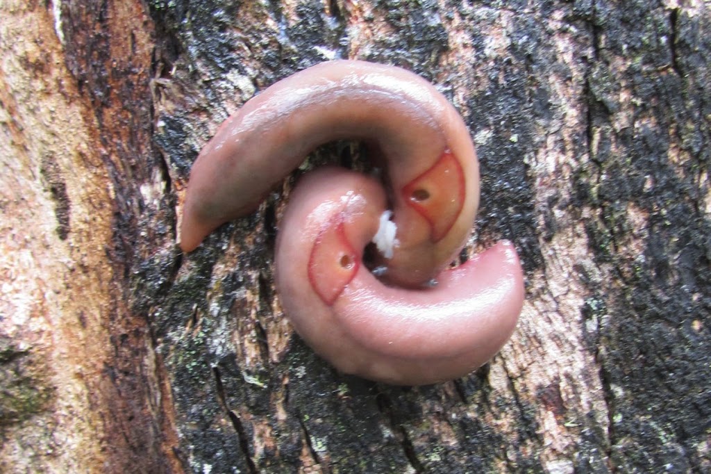
| A Red Triangle Slug on the cairn |
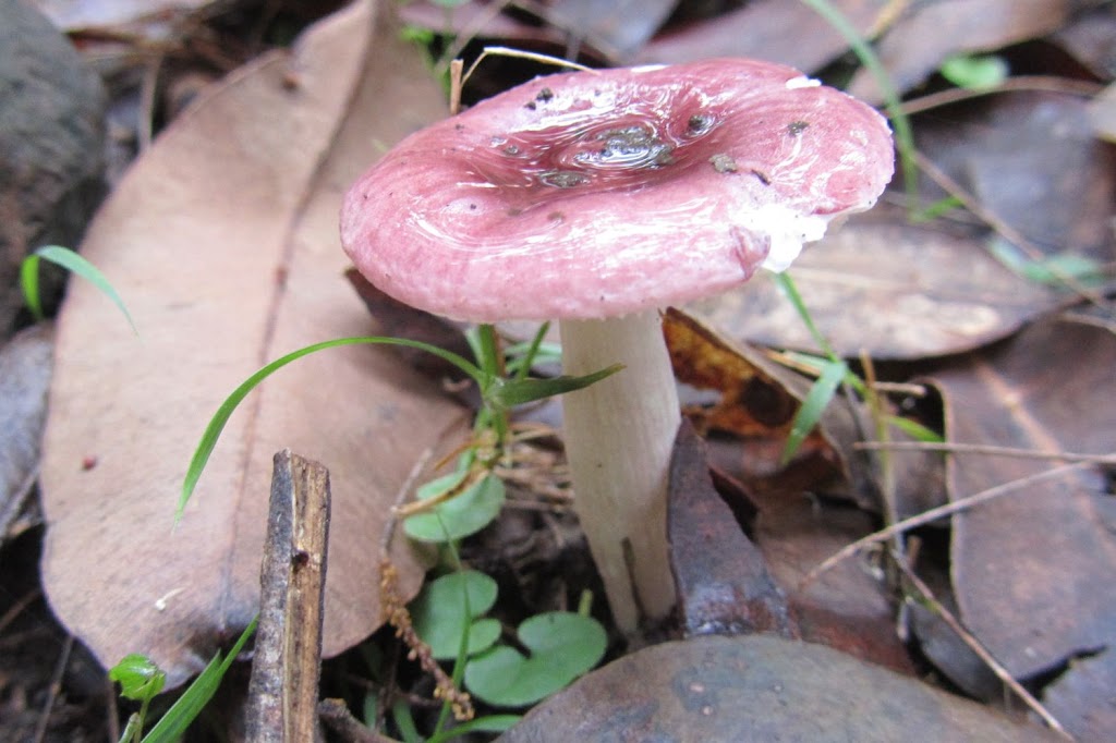
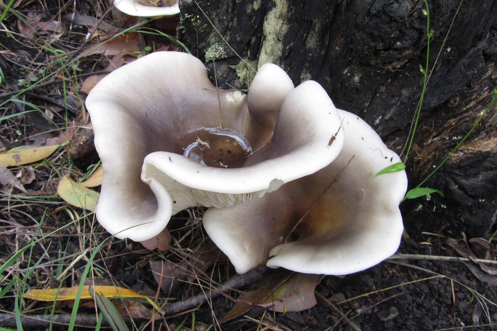
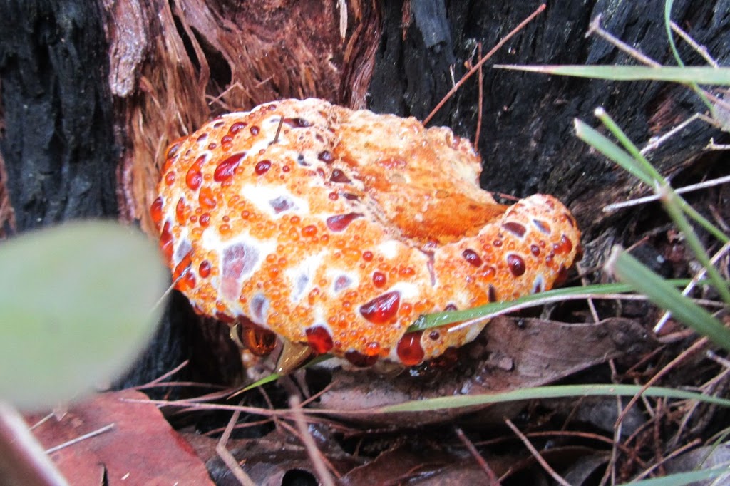
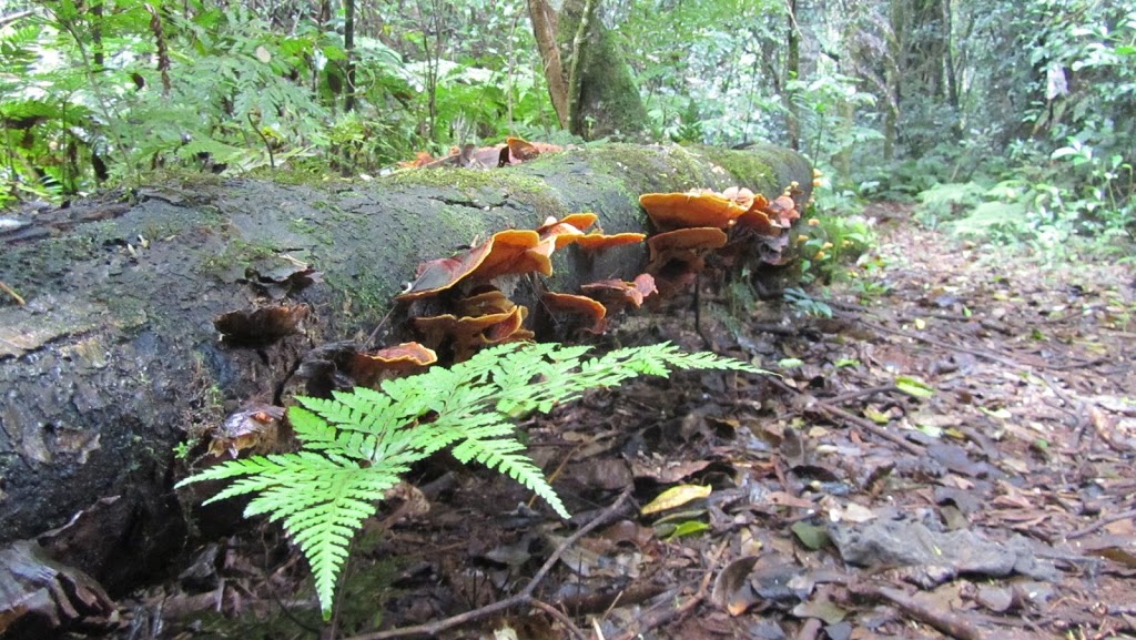
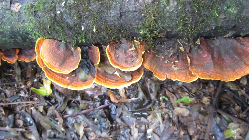
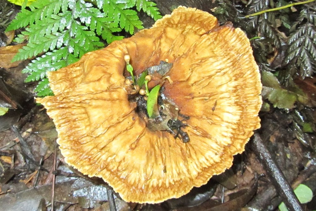
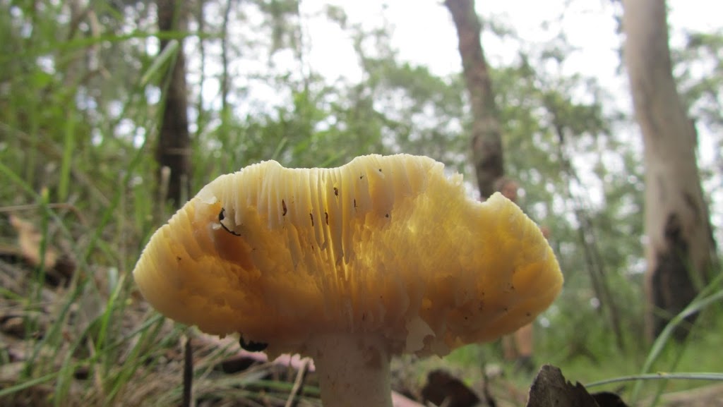
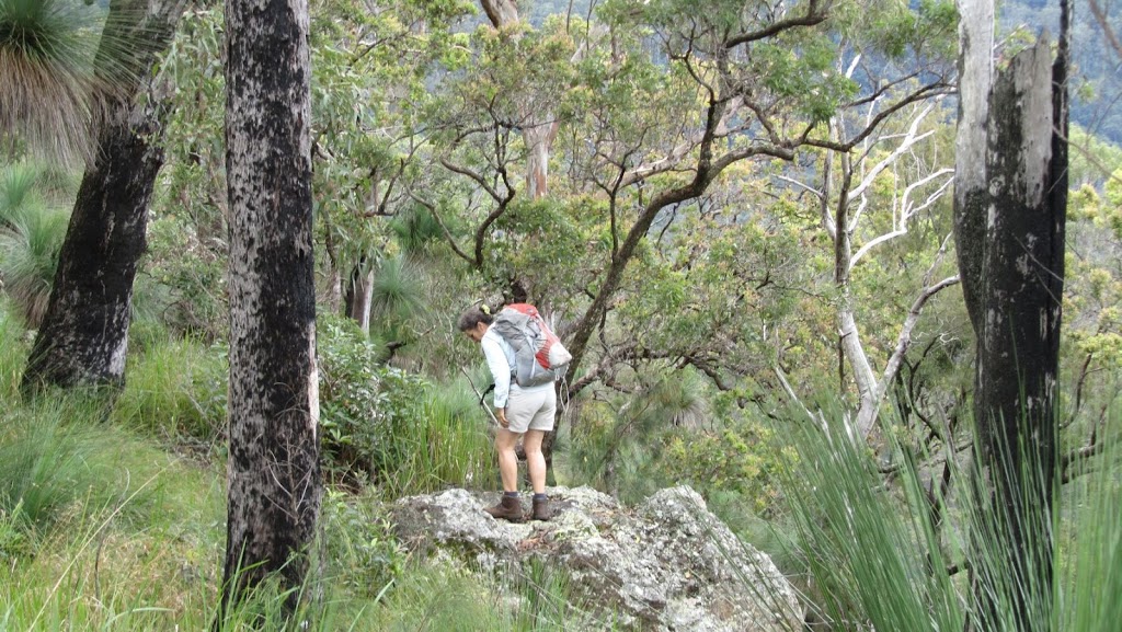
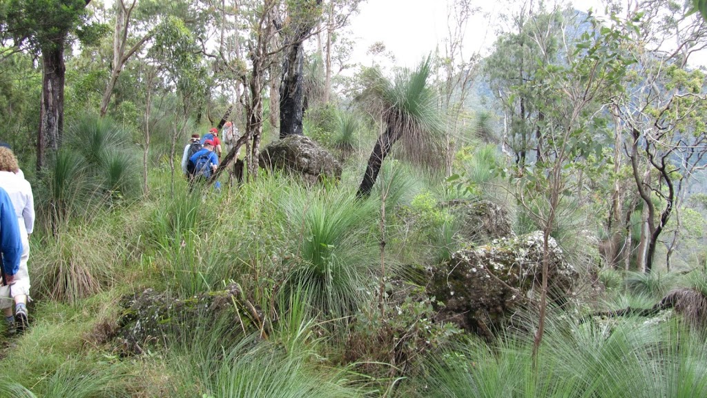
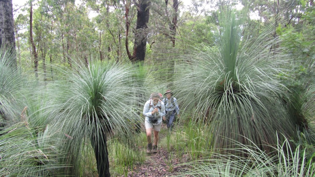
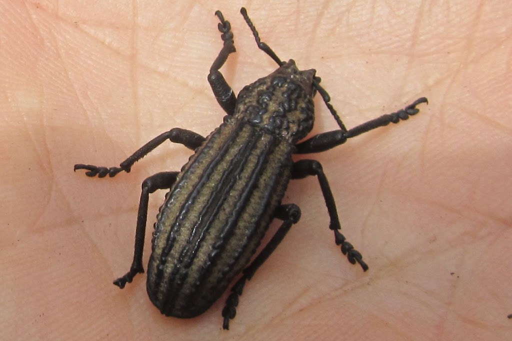
We then began the walk in earnest. The bush would change constantly as we walked. But not only were the views and general scenery so interesting, it was the finer details that made the day. The little things, the bright colouring of a fungus, a beetle, the patterns in the rocks, the bird life and even the numerous leeches that tried to attach themselves to us. So much to see…
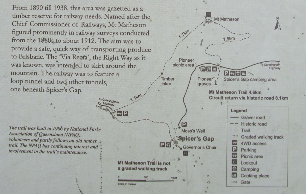 |
| Our route – Starting from the camping area, we had morning tea at Mt Matheson, then walked to Governor’s Chair for lunch before returning to the camping area. |
 |
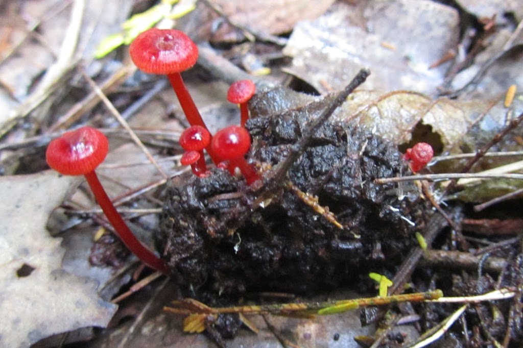
| If you look closely, you can see seeds germinating in the centre of this one. Its cup shape held enough leaf litter and moisture to allow the seeds to germinate. |
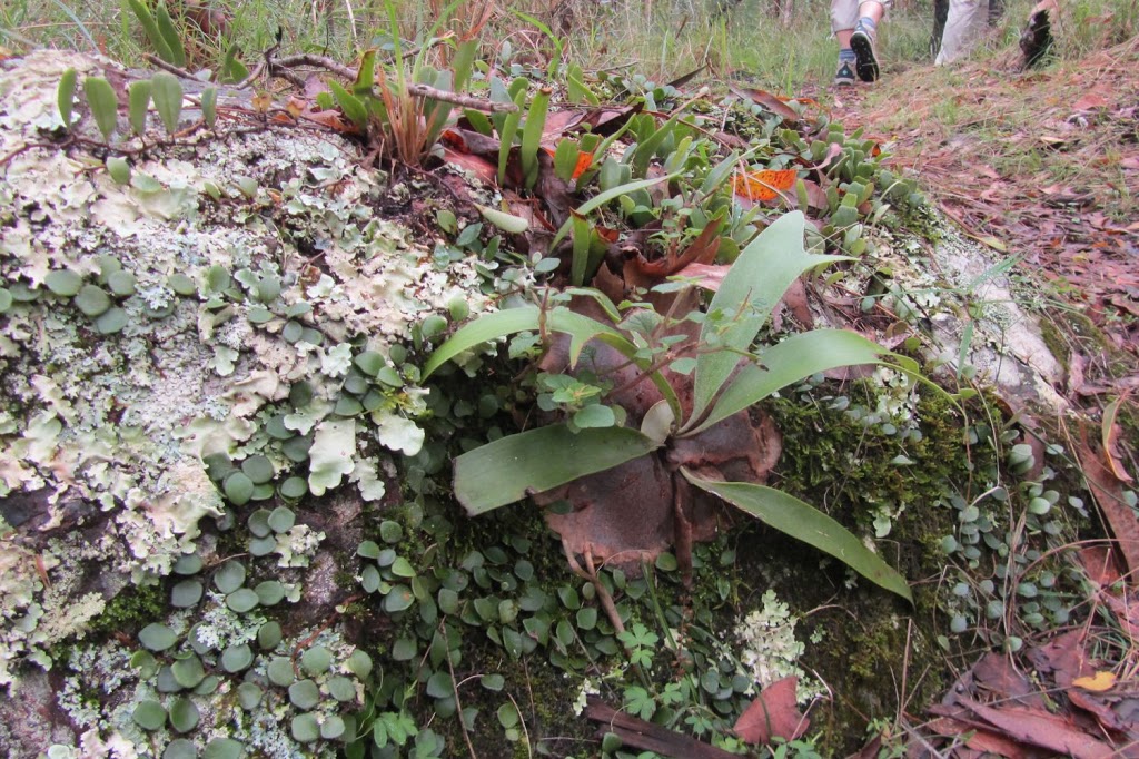 |
| A myriad of plant life on the rocks |
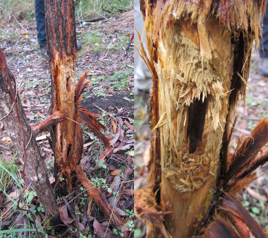 |
| Yellow-Tailed Black Cockatoos have shredded this tree to get a feed of borers – a close-up on the right |
When we reached Mt Matheson, we stopped for morning tea. This did not feel like a mountain peak however there were spectacular views from here. We were able to see the Cunningham Highway streched below us and also look across to Mt Cordeaux where we walked last time.
 |
| Morning tea at Mt Matheson |
 |
| Road works on the Cunningham Hway on the left and Mt Cordeaux on the right |
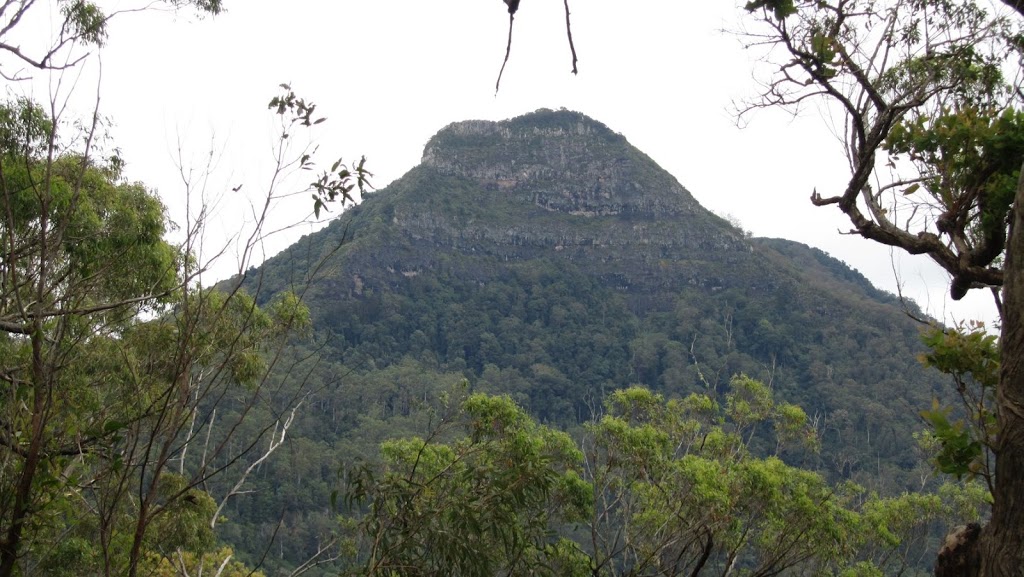 |
| Mt Mitchell where we will be walking in a month’s time |
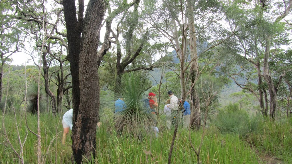
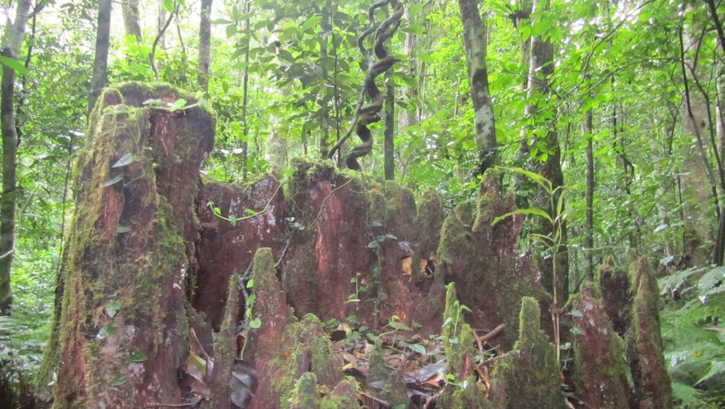
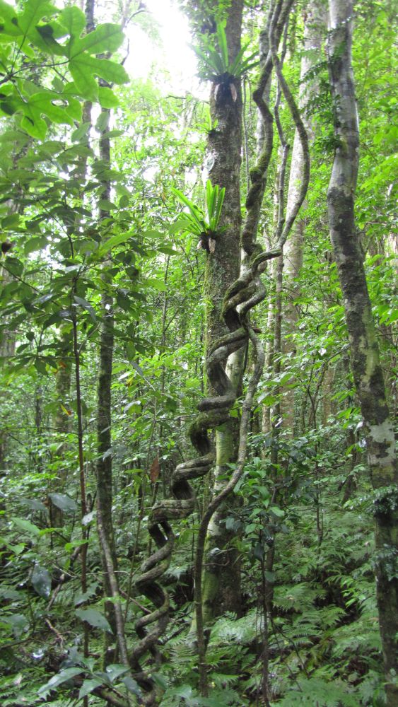
From here, we headed off through open forest where there were some very interesting rock formations before entering rain forest.
 |
| The boss… |
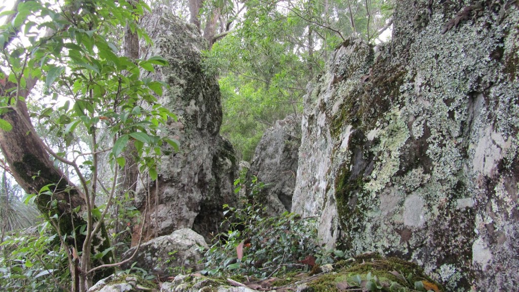 |
| There were pretty amazing rock formations |
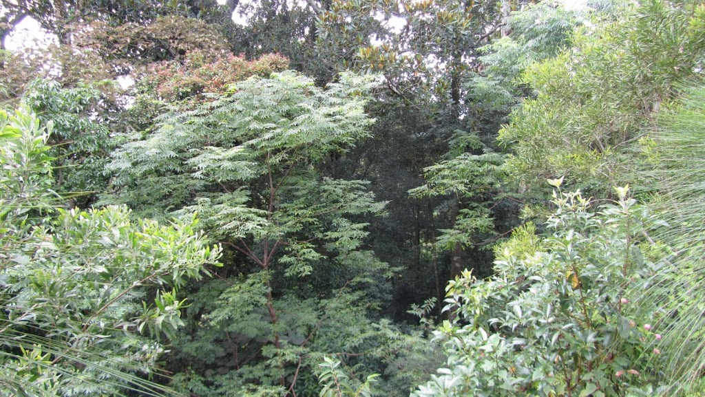 |
| Looking down into a rain forest area |
 |
| Almost like a rock ghetto |
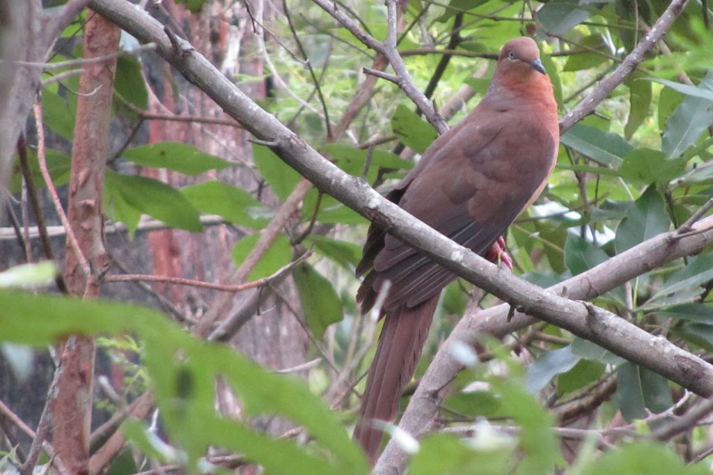 |
| A brown pigeon |
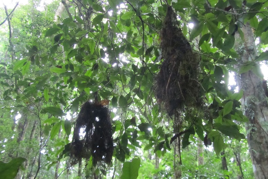 |
| Brown Warbler nests |
 |
| Golden everlastings (click image to view full size) |
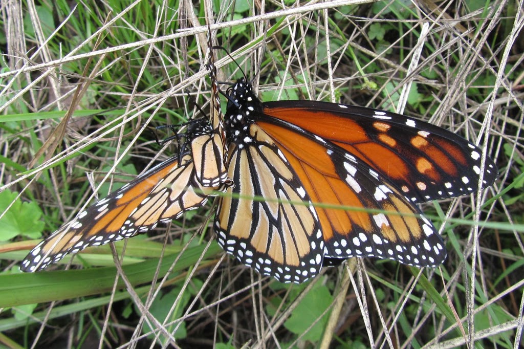 |
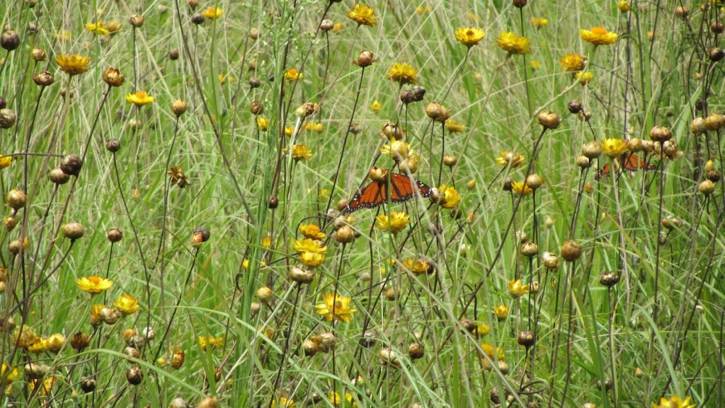
| There are two butterflies here having some quiet time |
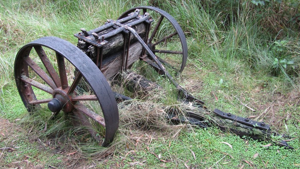 |
| These timber jinkers were used by the timber men to haul logs from the forests. They were hitched to bullock teams. |
 |
| Two Red Triangle Slugs having some special time |
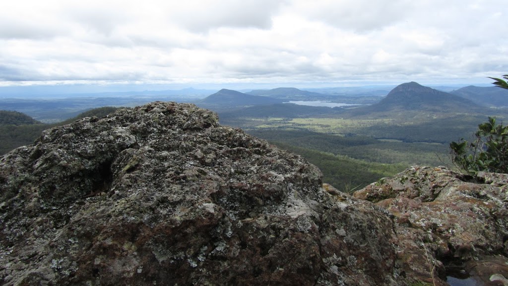
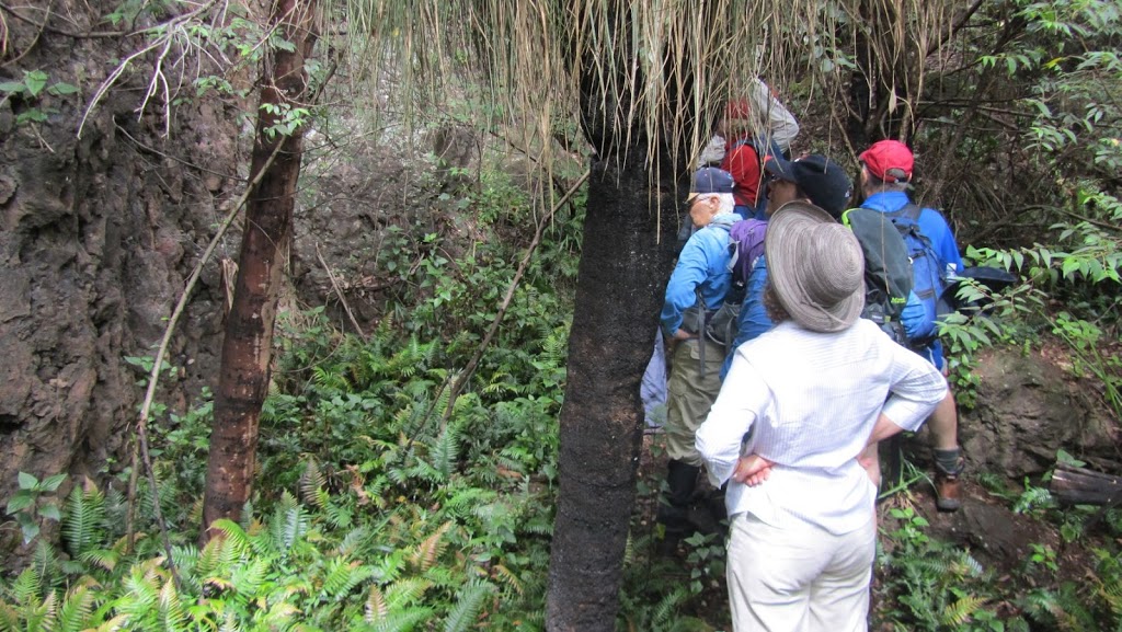
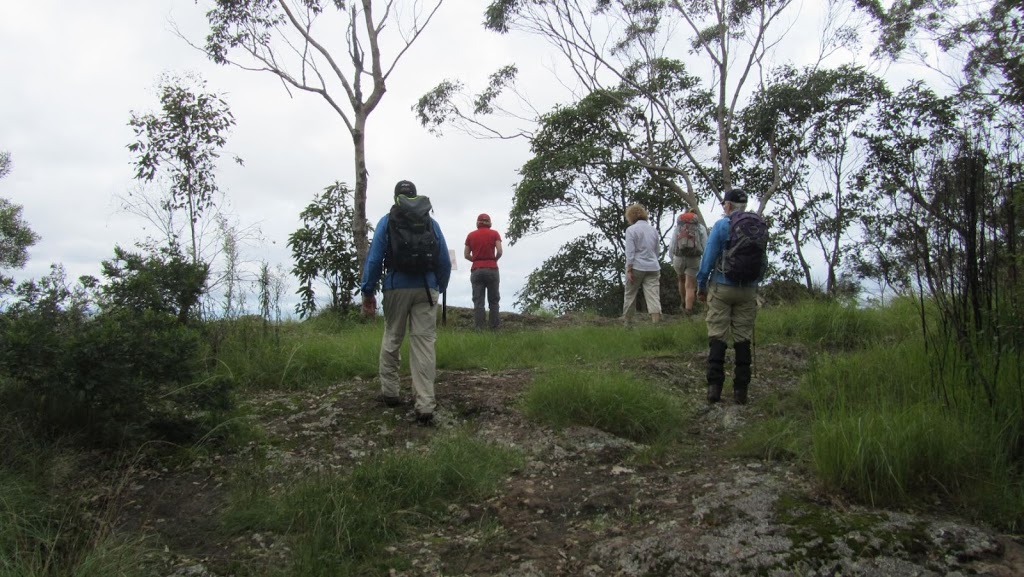
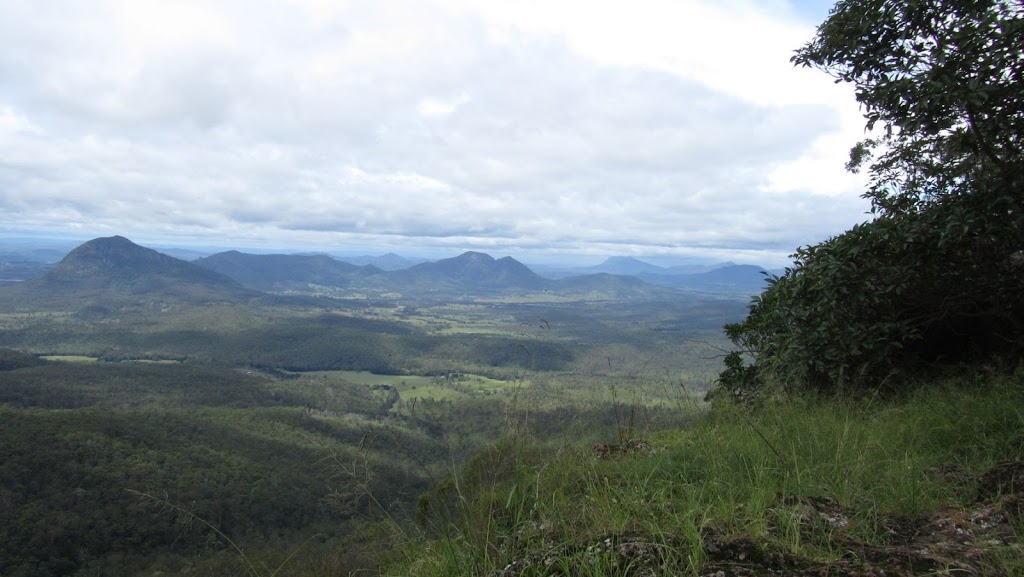
We made it to the Governor’s Chair where we had lunch. After lunch we checked out the views of the valley below.
 |
| Approaching the Governor’s Chair lookout |
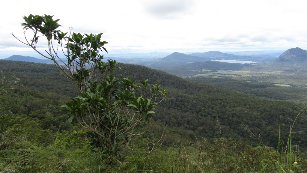 |
| Here you can see Lake Moogerah in the distance surrounded by Mt Edwards, Mt French and Mt Greville |
 |
| From the left is Mt Greville, Mt Alford, Mt Moon, Mt Maroon and Mt Toowoonan |
It was now time to walk the couple of kilometres along the gravel road back to the cars at the camping ground with a small diversion to Moss’s Well on the way.
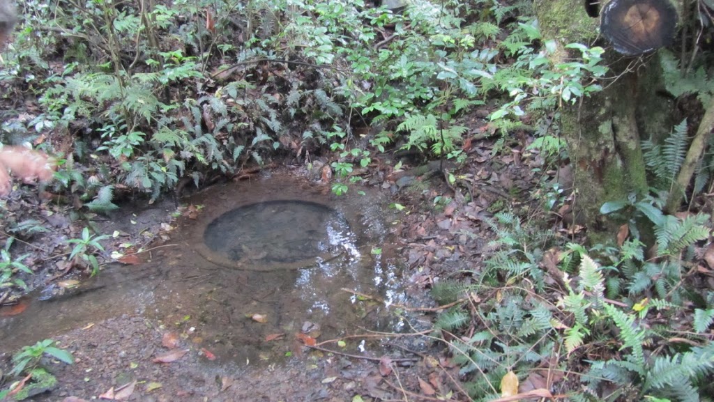 |
| Moss’s Well was discovered by Edward Moss in 1850 and used to water stock |
So now the walk was over. We drove back to Aratula before saying our goodbyes. I headed home, got changed and went down town for a large flat white.
I am now looking forward to the next walk in two weeks time…………
Another great walk Steve.Just checked your bird and in my book it’s called a Brown Cuckoo Dove.
Did you notice how the shredded tree looks exactly like a shaggy haired, screaming face!
Thanks Rosemary, I just googled Brown Cuckoo Dove and they said it was also known as Brown Pigeon so we are both right! 🙂
I didn’t see the face until you mentioned it but yes, definitely a screaming face there… 🙂