 |
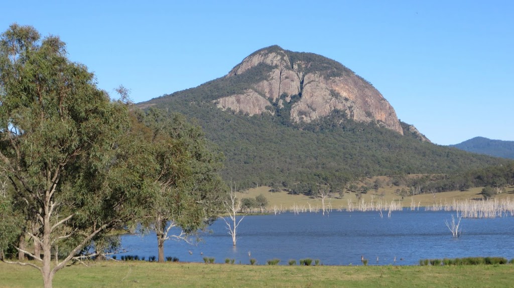
| Mt Greville seen from Lake Moogerah |
It was time for another walk with Teresa of Horizon Guides today. We returned to Mt Greville which we had walked last year. Click here to read about the last walk. Initially we were going to do the same walk as last time however we revised it to walk up Palm Gorge instead of Waterfall Gorge.
WaterfallPalm Gorge – Mt Greville (Moogerah Peaks NP)
6 – 7 hrs. Moderate -challenging. Rough and rocky
Date: Sunday 19th May
Description: This rugged little peak is one of the gems of the Fassifern. It has such wonderful diversity of habitat, flora and fauna that every turn in the track is a surprise. The route ascends the peak via Waterfall Gorge threading through a jumbled array of rocks between narrow towering cliffs that protect Piccabeen palms and giant White Beech trees. Emerging from the Gorge the route crosses the forested ridge to a magnificent lookout before joining the walking track to the summit. The return route to the vehicles brings us back through heath-land and over rhyolite slabs that support hoya, ferns and orchids and on through open forest to complete the circuit.
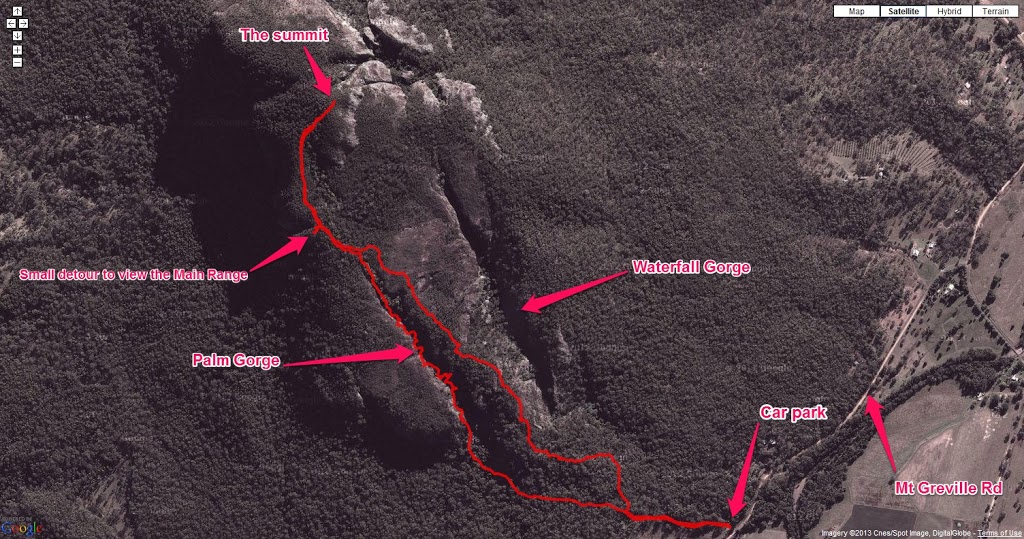 |
| The route overlaid on Google Maps |
It was a gorgeous sunny day however there was a cool westerly wind blowing for most of the day. It was 5°C when I left home so quite chilly but we soon warmed up once we started walking. We parked the cars and started climbing around 8:30am After a short section of open sclerophyll forest we entered Palm Gorge and traveled along the gorge floor which was rocky and covered in palm fronds. We constantly stopped along the way to look at anything interesting that came along – even wallaby poo. (We learned rock wallaby poo is tapered at one end whereas ordinary wallabies have rounder poo.)
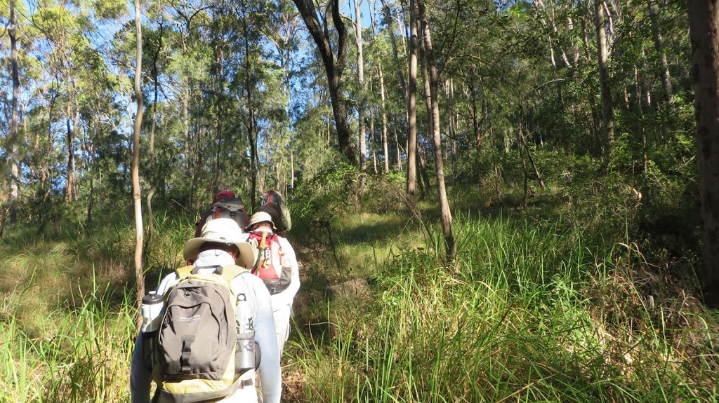 |
| Starting out |
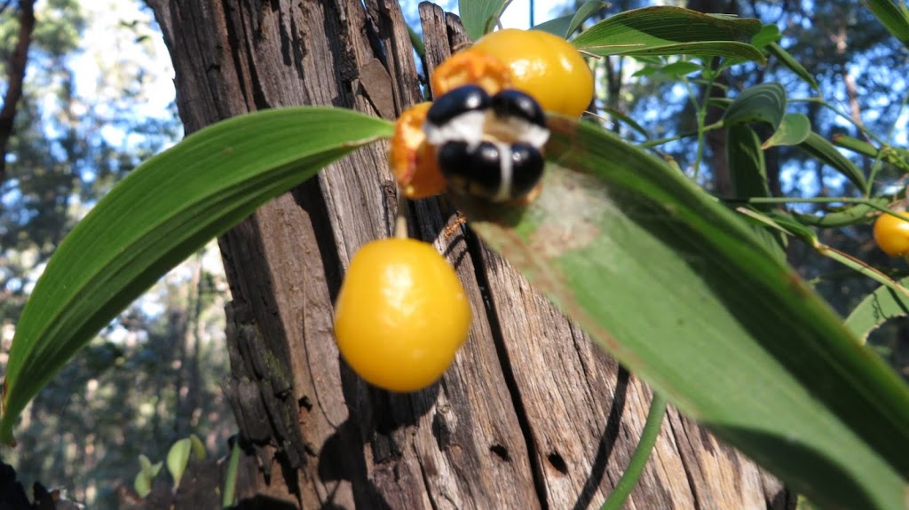 |
| Wombat Berry |
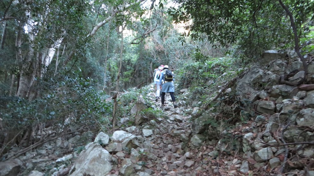 |
| Scree path |
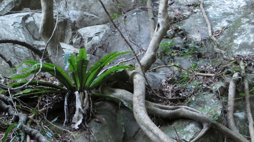 |
| Birdsnest fern |
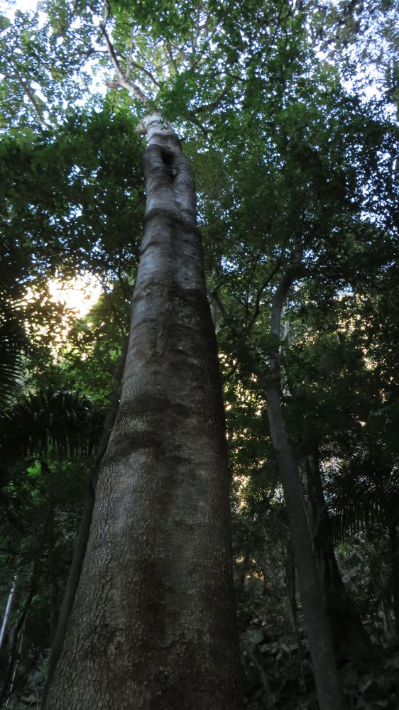 |
| This White Beech went up forever |
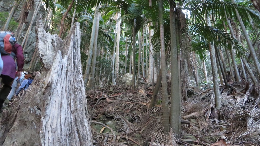 |
| Why Palm Gorge got its name |
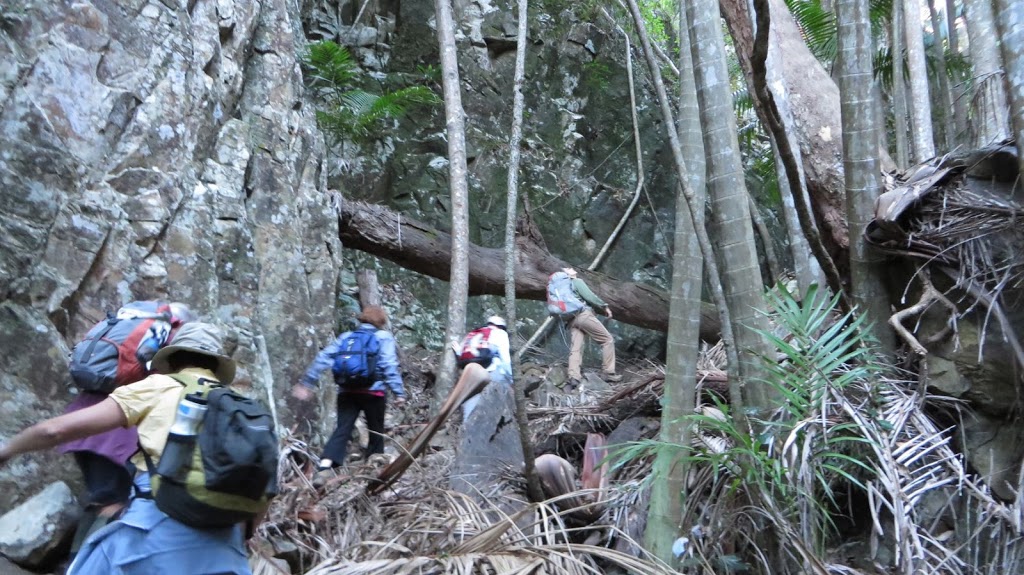 |
| The rock sides of the gorge were very interesting |
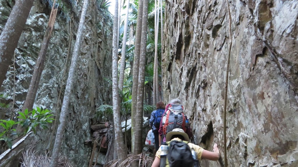 |
| The sides are closing in |
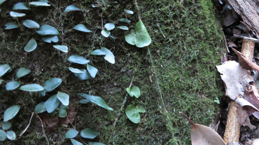 |
| Can you see the three baby staghorns |
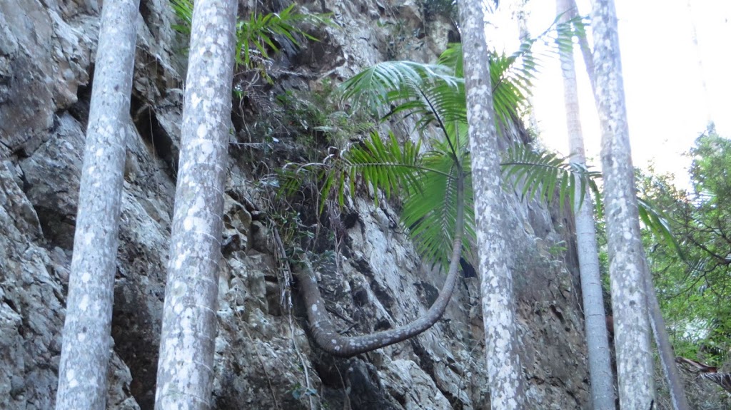 |
| An interesting shape |
 |
| Looking up |
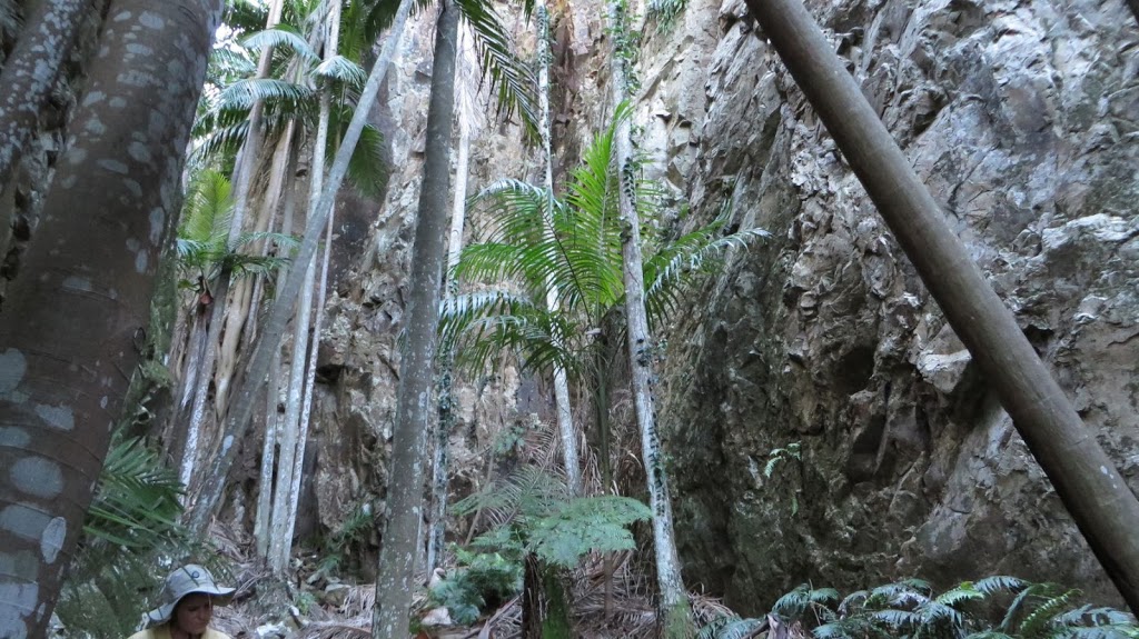 |
| Palms and rock |
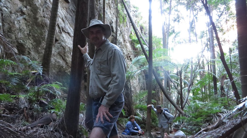 |
| Yours truly… |
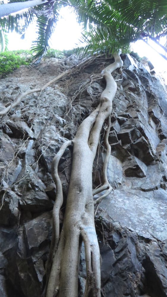 |
| A fig clambering up (or down) the rocks |
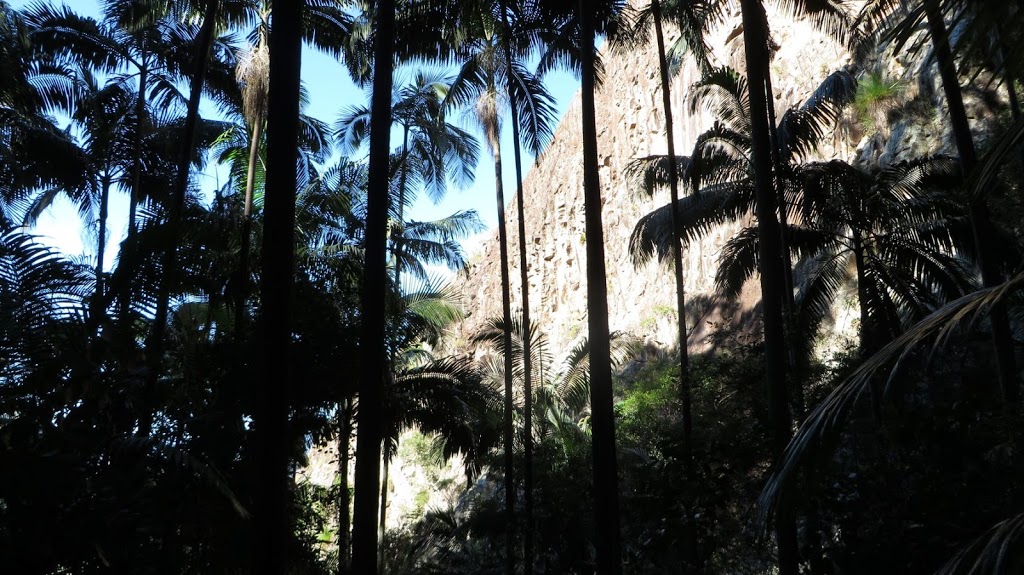 |
| Looking back down the gorge |
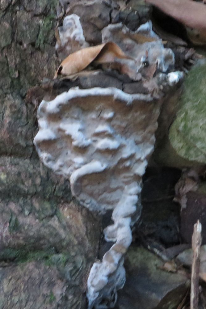 |
| This fungus was at the base of a tree |
 |
| Pretty garden |
 |
| This Common Crow Butterfly just hatched from its chrysalis. Its wings were still drying. |
We stopped for a snack in the gorge before climbing out. I thought this would be the worst of the steep climb finished but not so lucky as a steep ridge leading towards the summit awaited us. We had a brief stop at a little side gorge where we had a wonderful view of the Main Range. Spicers Peak was directly opposite us.
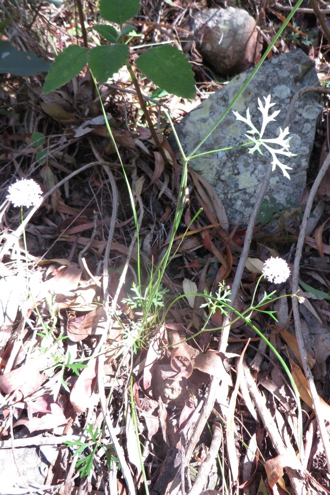 |
| Wild parsnip – white flower and lobed dissected leaves |
 |
| A view of the Main Range from a little gorge |
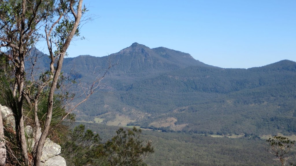 |
| A closeup of Spicers Peak as seen above |
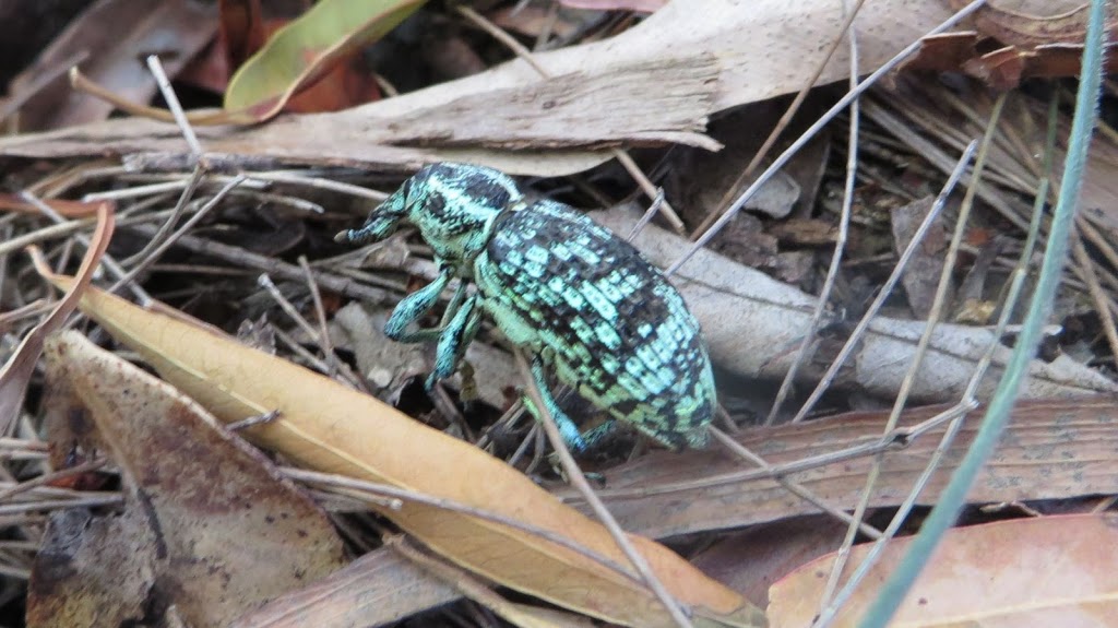 |
| A Botany Bay Diamond Weevil |
We arrived at the summit just after 11am. It was time for lunch so we gathered around the cairn of stones and ate while the kettle boiled for a nice cup of tea. Then after lunch we lounged around at a nice sunny spot enjoying the view.
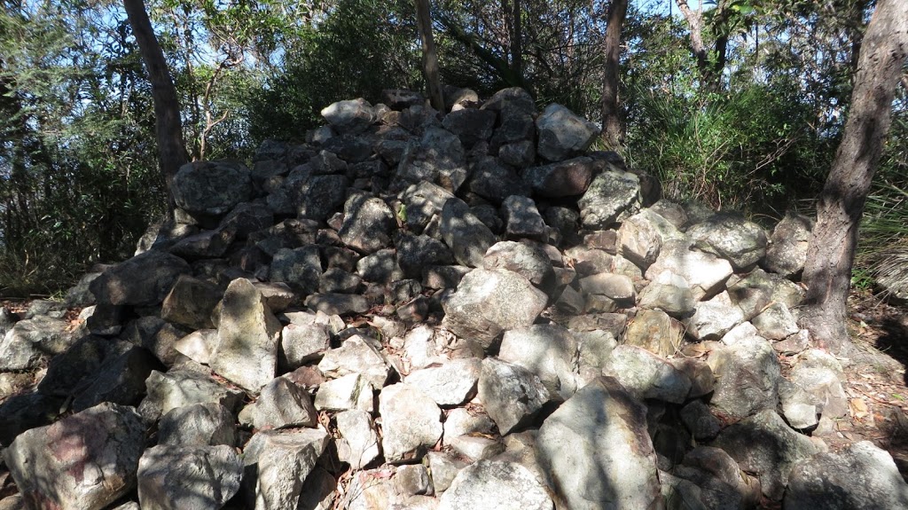 |
| The cairn of rocks at the summit |
 |
| A nice position at the summit to relax and take in the views |
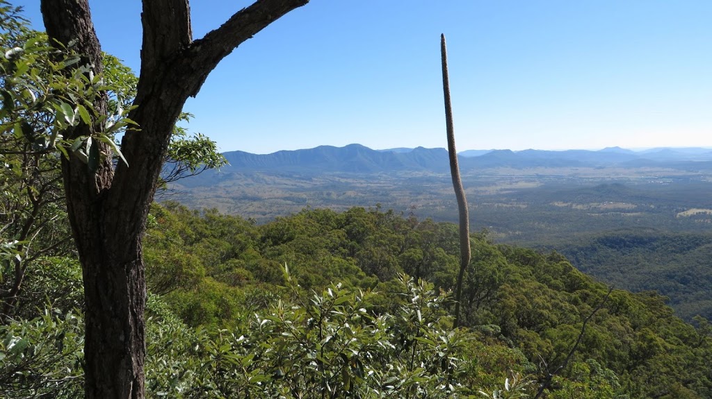 |
| The Main Range in the distance |
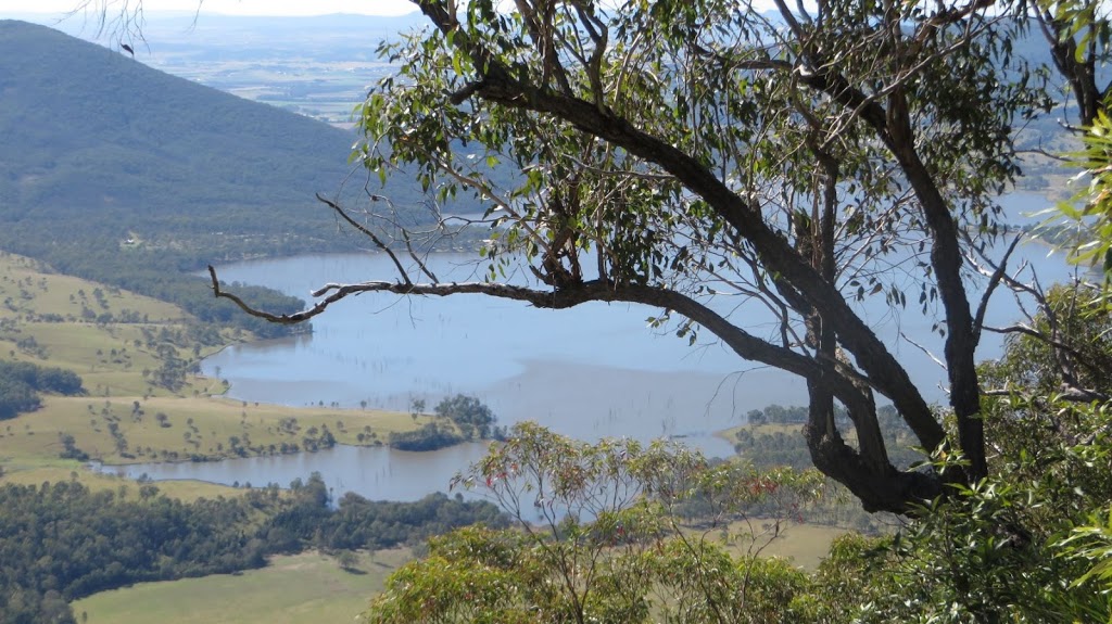 |
| Lake Moogerah |
Then just before noon, it was time to leave and head back down the mountain. This time we descended via the South East Ridge (between the two gorges) where we constantly had wonderful views in front of us.
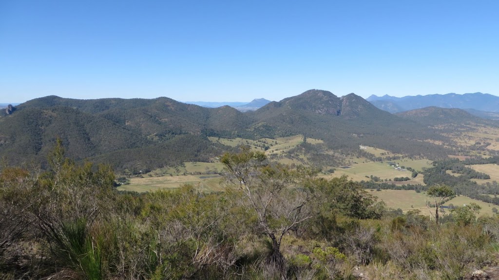 |
| Mt Alford and Mt Moon with Mt Barney and Mt Maroon behind them |
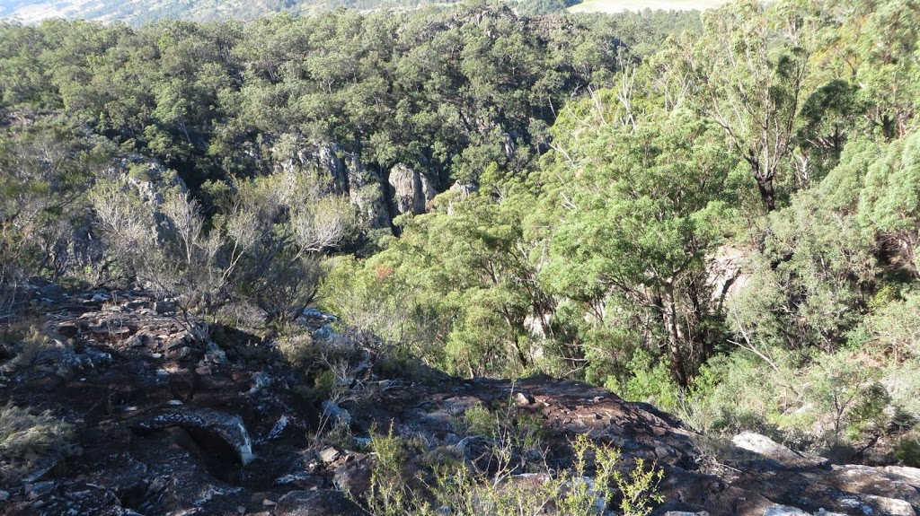 |
| Rock formations in Waterfall Gorge on the way down the South East Ridge |
 |
| Checking out the view |
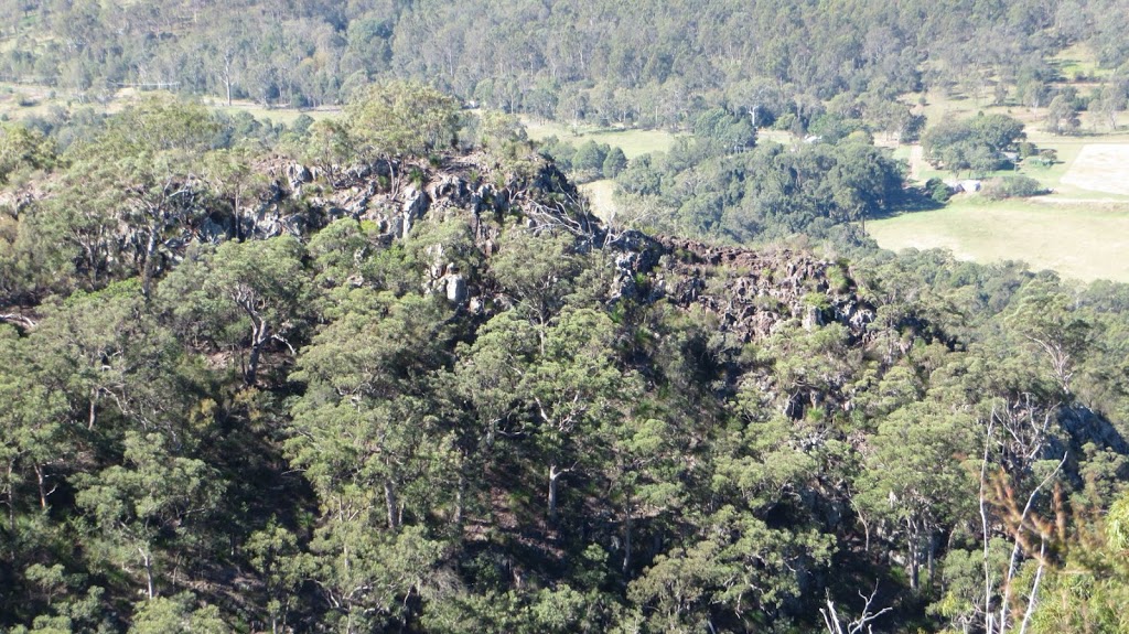 |
| Looking across Waterfall Gorge |
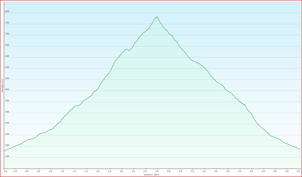 |
| A chart showing the elevation of the walk from my GPS data |
We got back to the cars at 1:30pm. We’d walked approx 6.5km all up and climbed 600m from the carpark to the summit. It was a very pleasant day even though I could feel the calves of my legs complaining. I’m looking forward to my next walk in about ten days time – Mt Edwards.

Love reading and seeing images of your explorations.
Thanks, I love getting out there. 🙂