 |
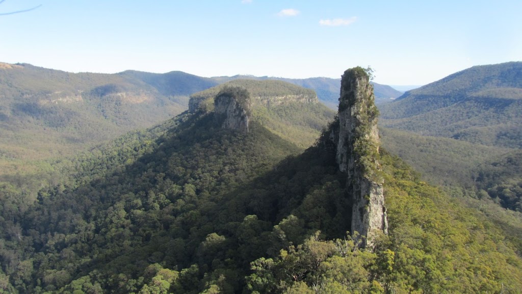
| A shot of the Steamers taken from the Stern, the Mast is the peak right in front, then the Funnel and finally the Prow in the distance. |
I really don’t have to write anything to describe today’s walk other than “Wow!” and “I’m worn out.” But I better do a little more than that.
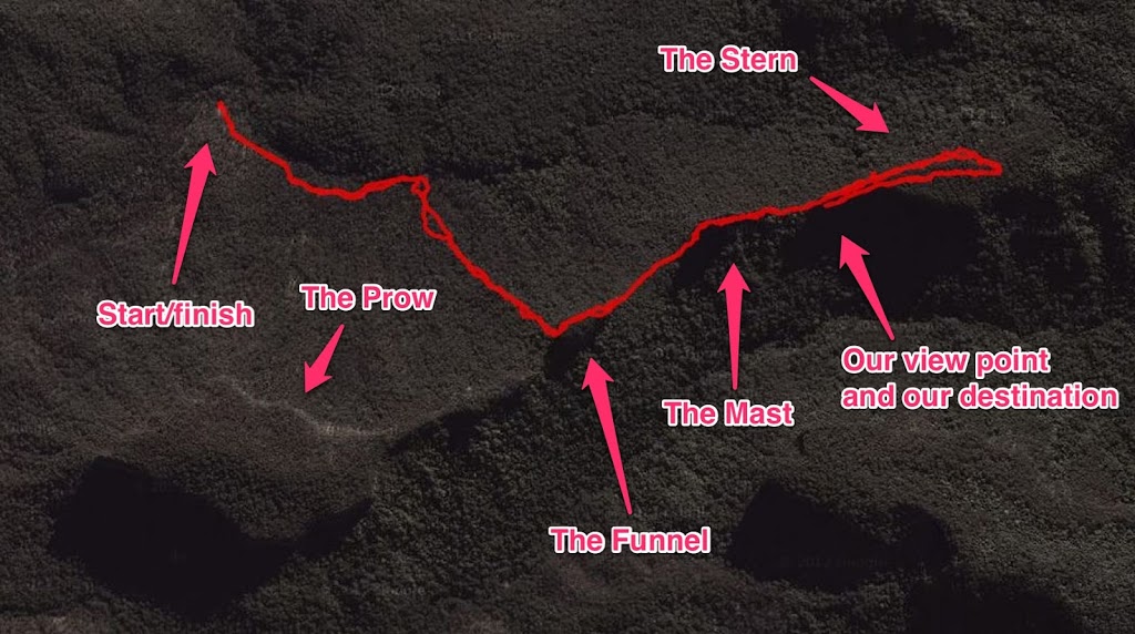
Today we did the Steamers which is a spur branching off the western side of the Great Dividing Range. The Steamers comprise of four peaks which resemble a ship – The Prow, The Funnel, The Mast and The Stern.
Once again Teresa of Horizon Guides led us. This is Teresa’s description of what we were to expect:
Walk 9: The Steamers (Main Range NP) 7 – 8 hrs Moderate – challenging (off track)
Date: Sunday1st July24th June
Description: A two-hour drive (last bit requires 4WD) brings us to the start of this walk however it’s worth the journey to visit one of the most dramatic geologic features in SE Queensland! The Steamers rise as steep cliff sections atop a ridge to the west of the Main Range NW of Mt Superbus. They are named the Prow, Funnel, Mast and Stern for their resemblance to a massive ship. The view from the western end of the Stern is one of the best in the region. There is not really any track so be prepared for steep climbs and rough ground with a section of steep scree as we head up on to the ridge and traverse the various features of the Steamers before returning by the same route.
NB The final section to the view point off the end of the Stern involves an exposed and very narrow short section of ridge.
Extreme care is required and this part is not recommended for those nervous of heights. The walk is still very rewarding without this final scramble.
Getting to the start of the walk involved about two hours of travel from Aratula. We had to head west along the Cunningham Hway before turning off to Yangan and then back onto the range. We started the walk at 9:00am. We walked up a ridge to the Funnel before going along the main ridge towards the Stern. We then gained the summit of the Stern via the eastern end before walking to the western end where we had wonderful views. We then retraced our steps back to the cars.
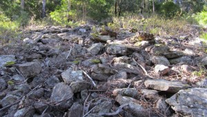 |
| We had to scramble up this scree section to reach the Funnel. It was much steeper than it looks here |
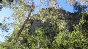 |
| Looking up at the Funnel as we approached it. |
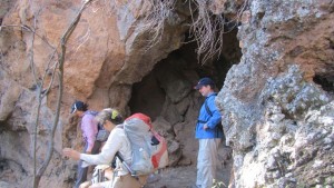 |
| This is where we had morning tea. A cave at the base of the Funnel. |
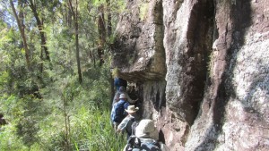 |
| Our trail skirted the base of the cliffs |
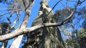 |
| It is amazing how narrow these peaks are. The eastern end of the Funnel. |
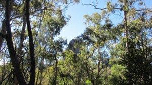 |
| The next peak hidden by the trees – The Mast. |
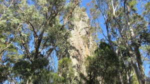 |
| Looking back at the funnel. |
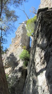 |
| Looking up. Amazing formations. |
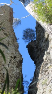 |
| Same place as above photo but zoomed in on a tree growing out of the rock. |
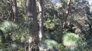 |
| Looking down the southern side of the ridge into rain forest. |
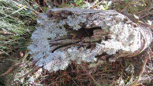 |
| There were amazing lichens everywhere. |
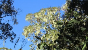 |
| Lichen in the trees. |
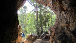 |
| We stopped for a break at this cave at the base of the Stern. |
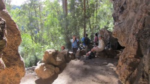 |
| I’m taking a photo of you taking a photo… |
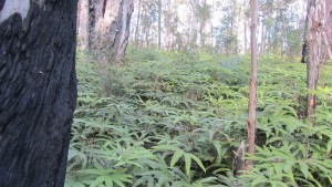 |
| A fern garden on top of the Stern. |
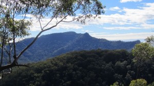 |
| A view of Mt Asplenium and Panorama Point (the pointy bit on the right of centre). |
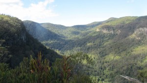 |
| A view of the valley below from the Stern. |
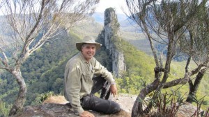 |
| Yours truly at the best view of the day… |
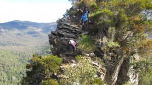 |
| Hair raising! This is where we had to walk to check out the view! |
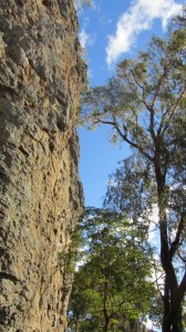 |
| Another cliff face on the way back. |
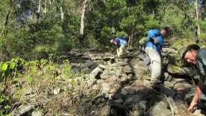 |
| Scrambling down the scree section on the return. |
We walked about 10.5km today with some of it quite steep. Crossing the exposed section of the ridge to the viewing point was also different. But it was worth it. All members of the group were amazed at the view. We had spectacular weather which made the day even more special.
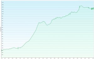 |
| A graph of the elevation from the start of the walk to the viewing point on the Stern. |
I left home at 6:30am and returned home tired and a little sore at 6:00pm. It was a big day! I am now off to bed to sleep the sleep of the just! Goodnight all… 🙂

Hi! Could I possibly ask for a more detailed route to the start please? Is there somewhere to park?
Looks amazing! I’d love to get up there.
Hi Madeleine, the GPS coordinates where we parked are -28.19683, 152.415245. We drove to Yangan, then went on Yangan-Killarney Rd, turned left onto Emu Creek Rd and then finally turned onto Old Mill Rd. It was eight years ago so I don't remember the roads all that well.
This link should be the directions on Google Maps. https://www.google.com/maps/dir/Yangan+QLD/-28.19683,152.415245/@-28.2121677,152.2678649,13z/data=!3m1!4b1!4m9!4m8!1m5!1m1!1s0x6b970c50c1a63e45:0x400eef17f20a990!2m2!1d152.208!2d-28.1976!1m0!3e0