 |
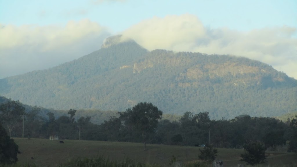
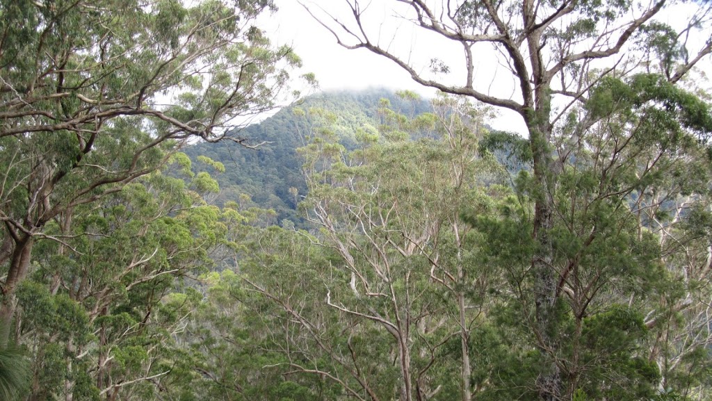
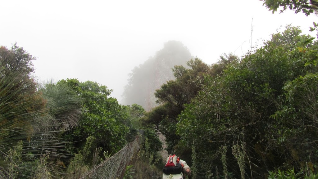
| Wilson’s Peak on the way there. The peak was just in the clouds. |
Today’s walk was originally scheduled for last Sunday. As the week prior progressed, I kept watching the weather forecast as they were talking of a significant rain event all week. Sure enough it rained on the Saturday and the walk was postponed. Wilson’s Peak has always been a significant peak to me as it is close to where I grew up and has a very distinctive shape that can be seen for miles. I have often looked at it from Ipswich (probably 80km away) and thought of home. The walk was postponed until today and once again I watched the weather forecast as they are talking about another weather event this weekend. But the weather was good to us and the walk was on.
This is what we were expecting from Teresa’s description (Horizon Guides):
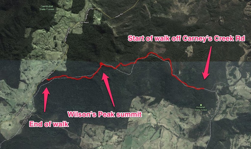
Walk 7: Wilson’s Peak from the Boonah Border Gate to the Head Rd (Main Range NP) 12.5km 6 – 7 hrs. Easy approach but mostly challenging. STEEP ascent and descent.
Date:Sunday 3rd JuneSaturday 9th June (In the event of rain on the day the walk will be postponed)
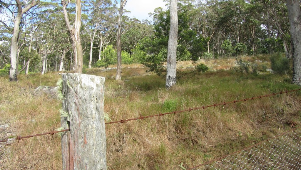
Description: This is the longest route to Wilson’s Peak and provides the most variety. This peak is the prominent rounded bump that looks over Teviot Gap on the Head Road. The challenging grade is given because the final climb through rainforest to the summit is very steep as is the initial descent. The walk starts at the Boonah Border Gate and follows the historic Rabbit Board Fence westward along the Queensland / NSW Border. The route is undulating, with flattish sections followed by steep climbs. Vegetation ranges from sub-tropical rainforest to open eucalypt forest dotted with grass trees. The final summit climb involves a short scramble (not exposed) between rocks. We’ll lunch on top before coming back to the base of the cliffs, skirting them on the northern side then descending steeply at first along the Rabbit Fence to the Head Road.
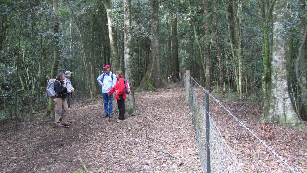
The walk started off very pleasantly. We walked along the rabbit fence on a well maintained 4WD track and I was thinking how good it was.
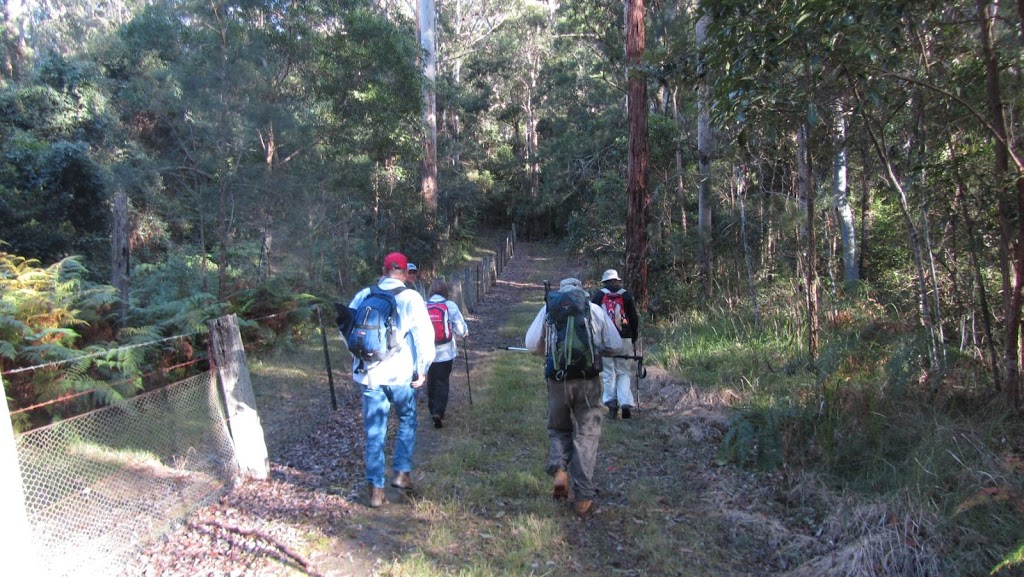 |
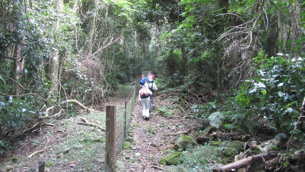
| Setting off… |
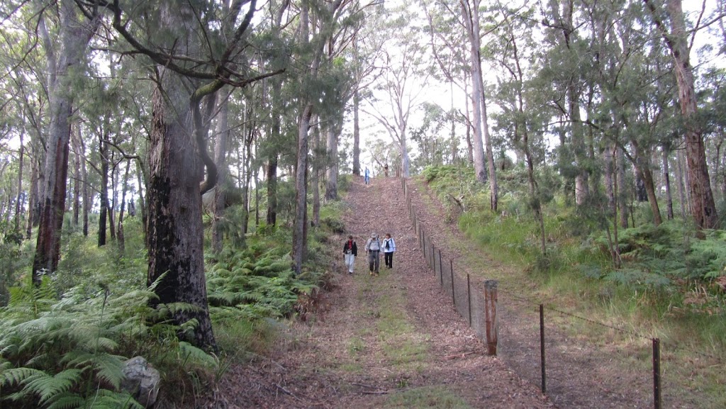 |
| This bush walking caper is a breeze… |
 |
| Looks nice over there in NSW |
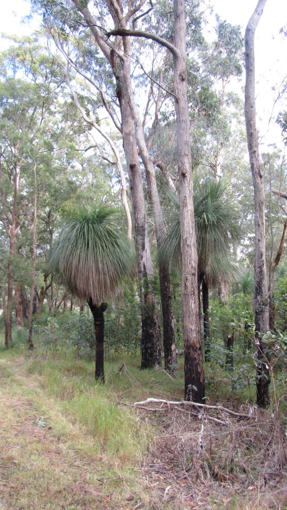 |
| I wonder how old these grass trees are? |
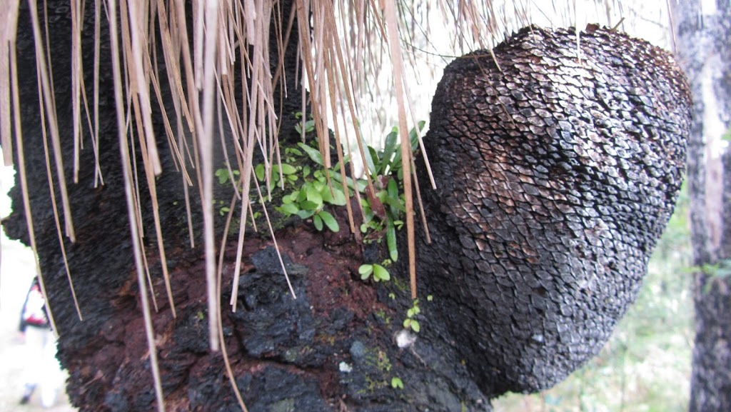 |
| These babies were growing on the fork of the grass tree above. I think they are bird’s nest ferns. |
 |
| The summit. We still have to get up there. |
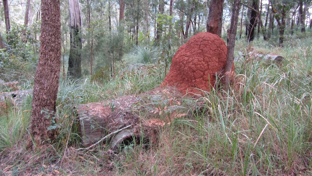 |
| There were some impressive termite mounds |
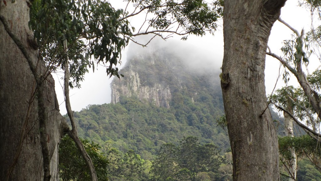 |
| A closer view of the summit. |
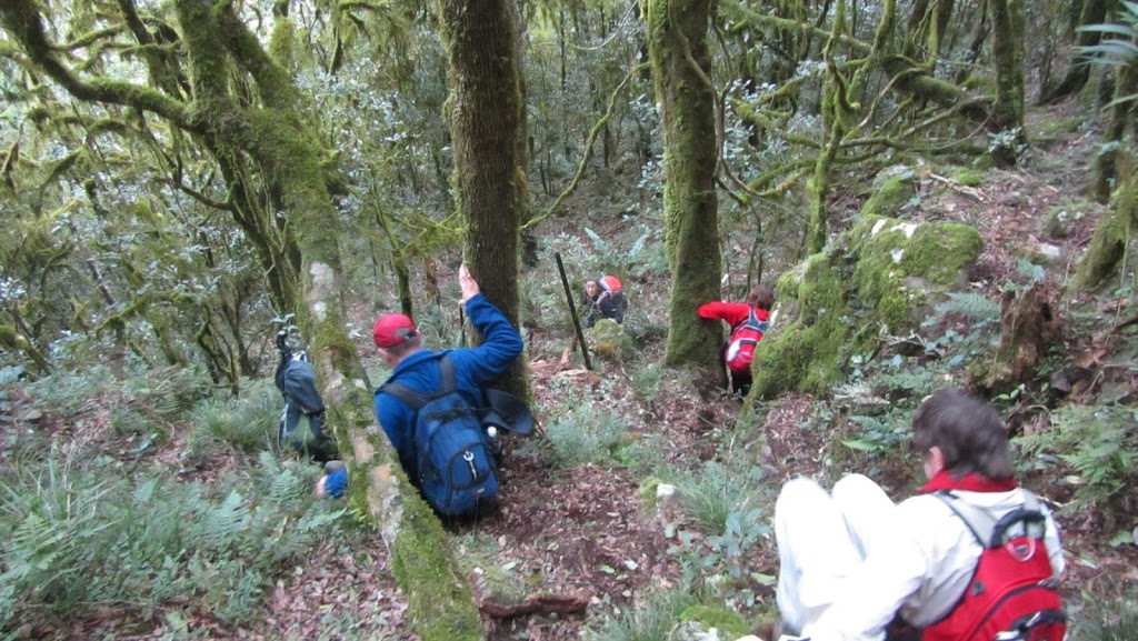
The track started to get steep. My legs started to complain. The altitude where we started the walk was 611m, the summit is around 1,230m. I started to think of that 600m in altitude we had to climb. And then the 4WD track ran out…
 |
| Where did the track go? |
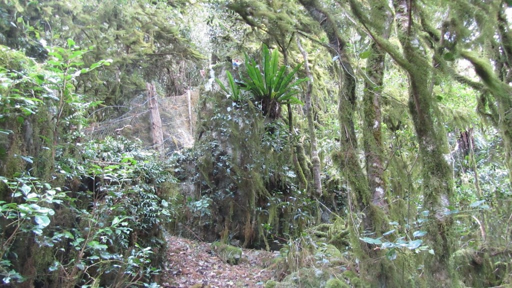 |
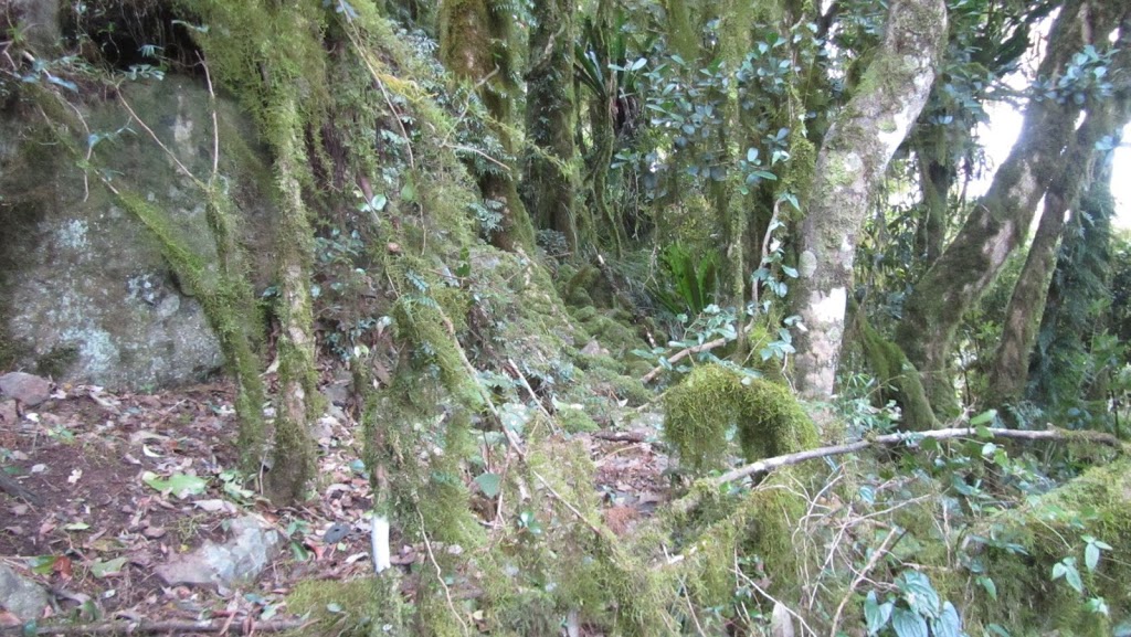
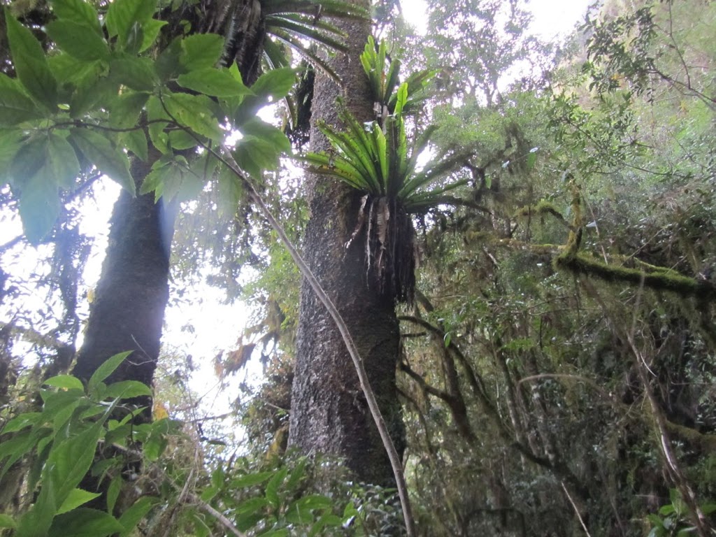
| The terrain was still spectacular with the moss in the trees. |
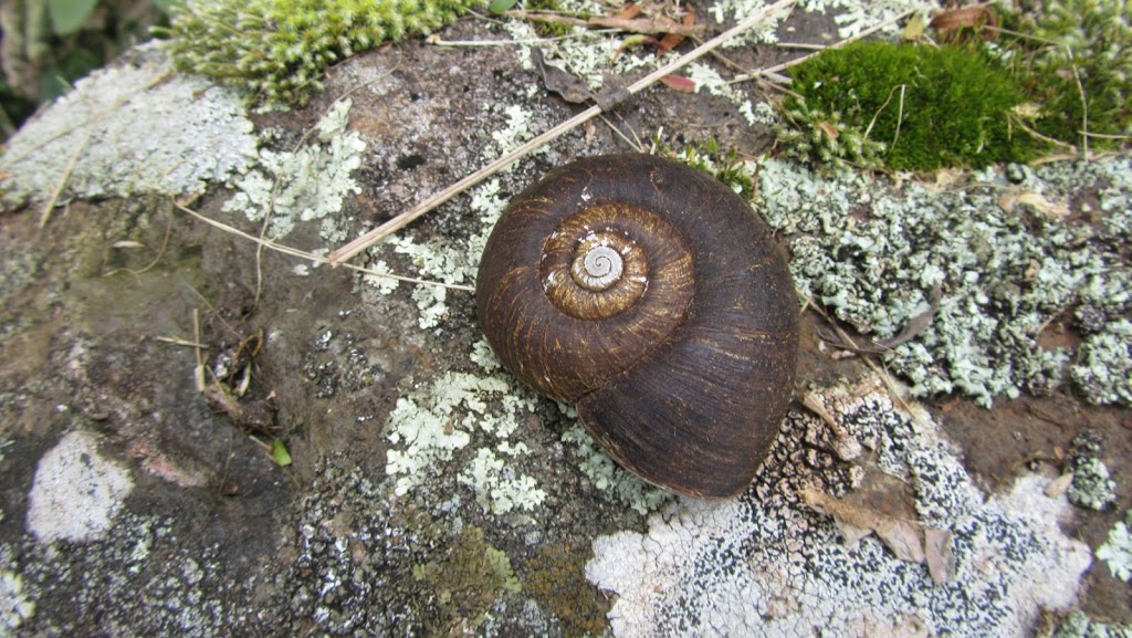 |
| We found this land snail. Normally we only see the shells after something has eaten them but this was a live one! |
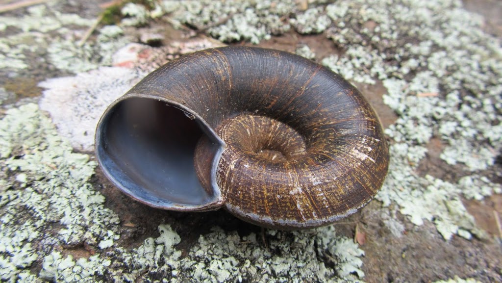 |
| The underside of the land snail. |
 |
| Spectacular! |
 |
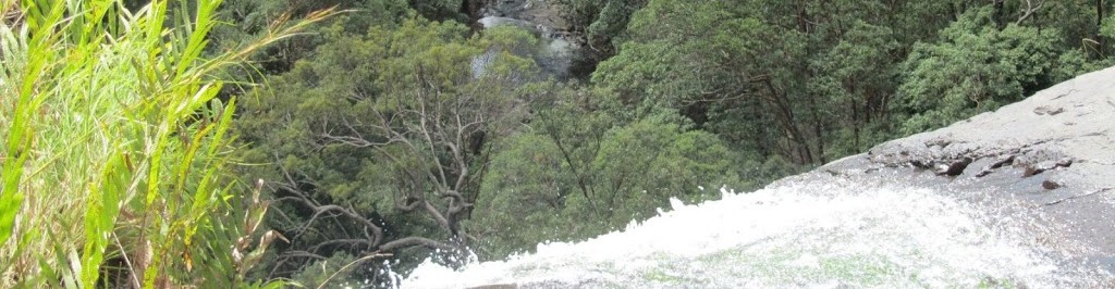
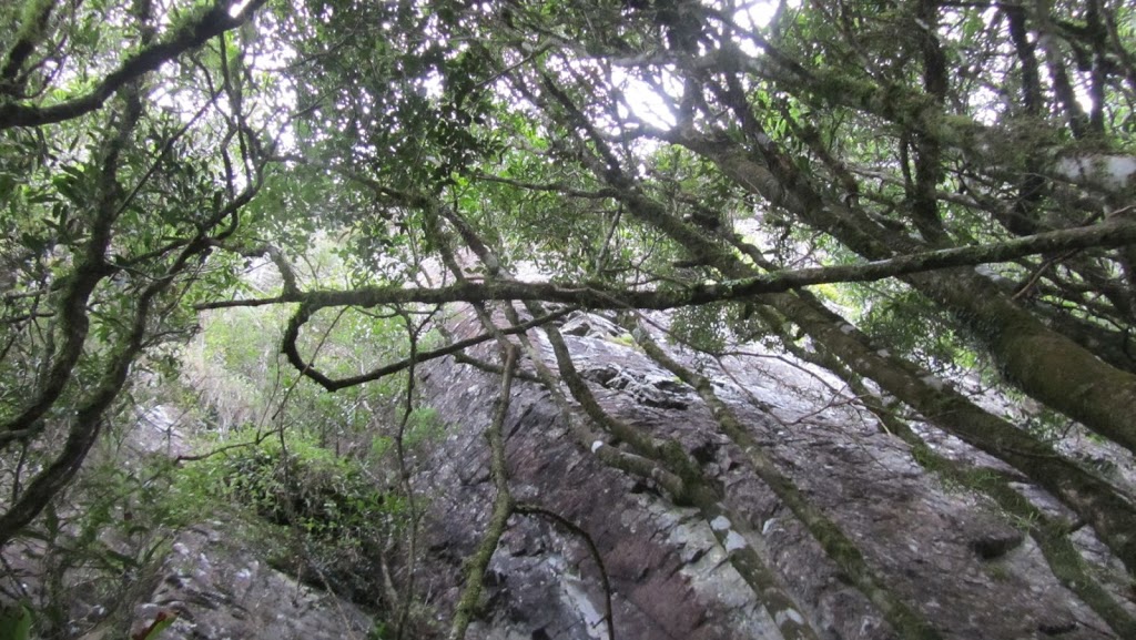
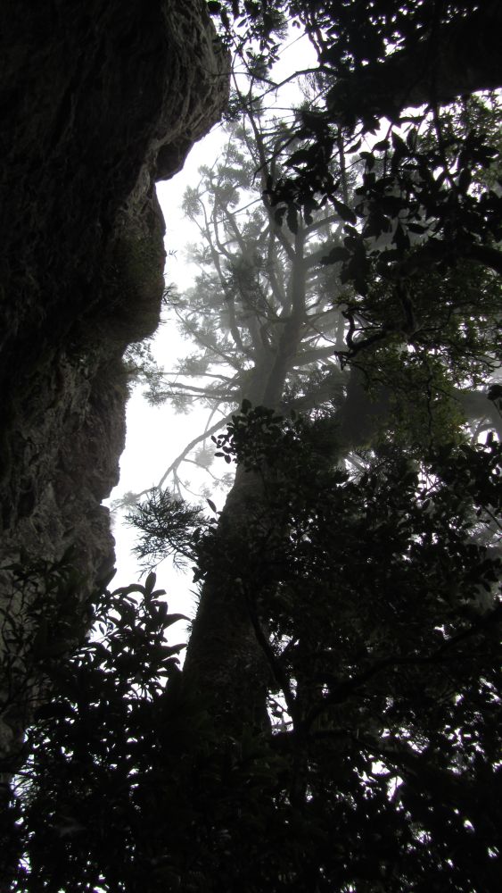
| Ah, there’s the cliff face in the mist which means the end of the rabbit fence for now and some horizontal travel… |
After some very steep climbing, the rabbit fence came to an end at some cliff faces. This is where we skirted at the foot of the cliff across the mountain prior to climbing up to the summit. The mist blowing over the mountain was something to see. Here is a short video clip of the mist.
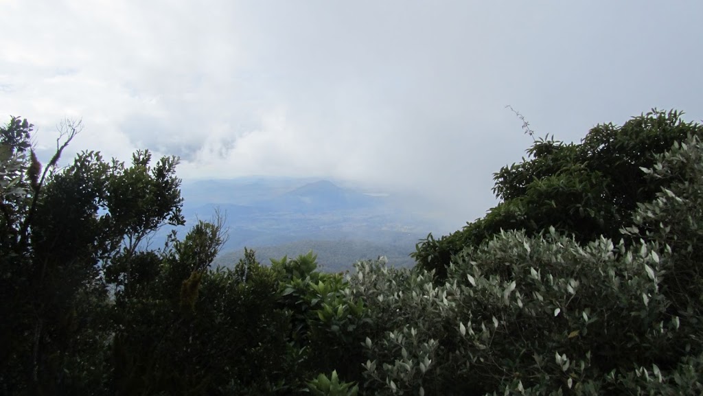 |
| You can see Maroon Dam out in the distance. |
 |
| Looking up the cliff face. |
 |
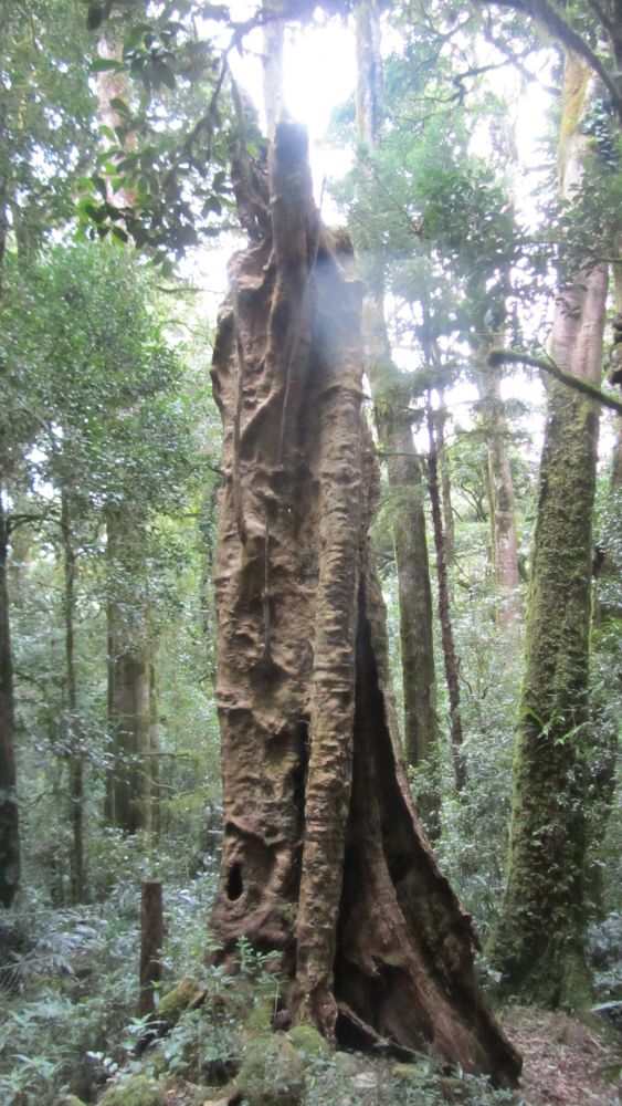
| This is a massive Hoop Pine. |
Then it was time to ascend to the summit. Teresa was right, this did involve a scramble. But we all got there and we made it to the top to find a cairn of rocks and a survey marker. We had lunch on the summit with Teresa boiling the billy once again. And joy oh joy, dark chocolate! Yum…
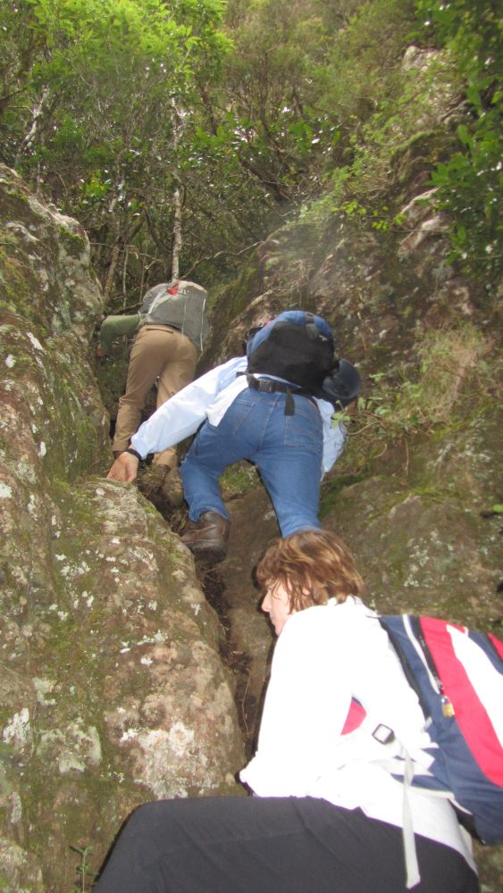 |
| Some rock climbing… |
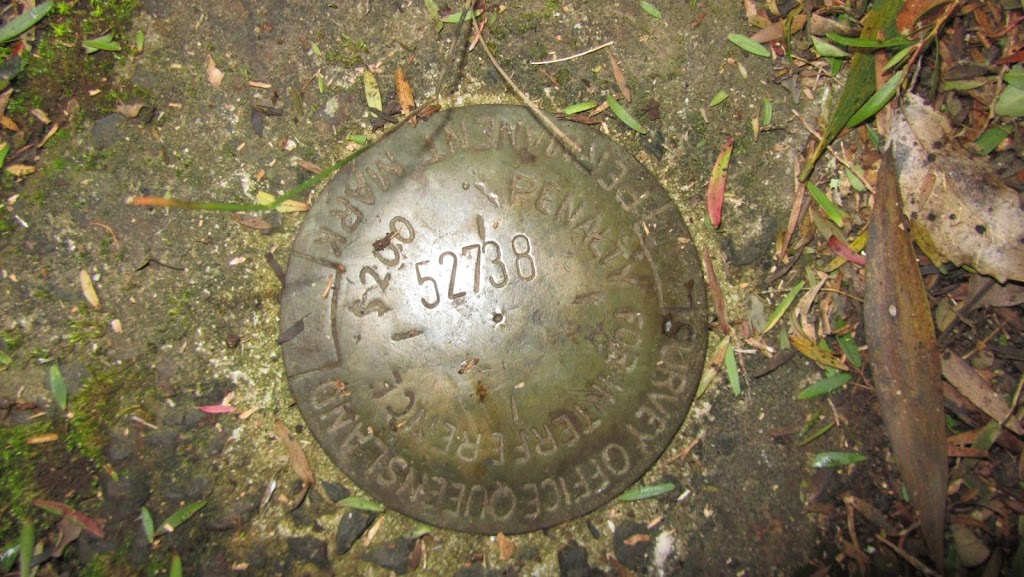 |
| The survey marker at the summit of Wilson’s Peak. |
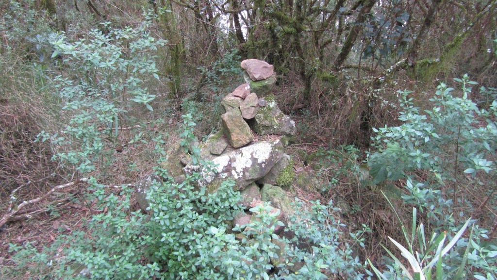 |
| A cairn of rocks at the summit. |
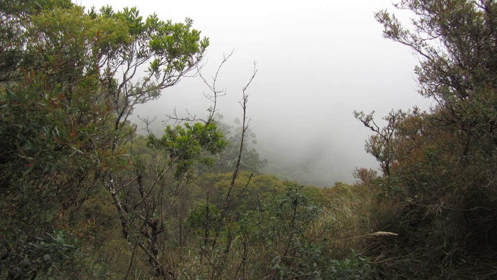 |
| A good view of the mist from the summit. |
After lunch, it was time to complete the walk. Now it was all downhill. We went back down to the base of the cliff face before coming to the rabbit fence once again. We followed the fence to the end of the walk.
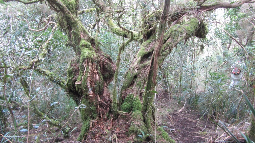 |
| I loved the twisted forms of the trees covered in moss. |
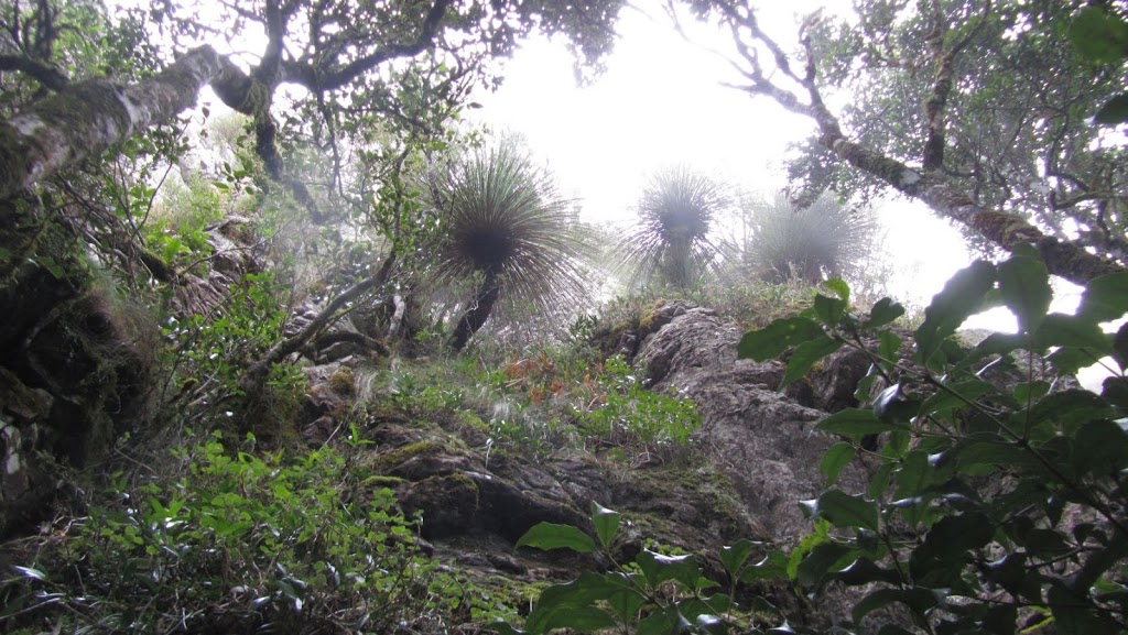 |
| Looking up the cliff at some grass trees. |
 |
| Another massive hoop pine. |
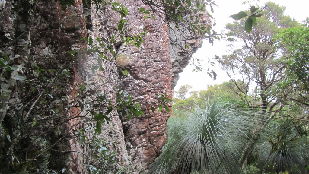 |
| I love the rock formations. |
 |
| There were still plenty of places that required scrambling on the way down. |
 |
| An old stump, maybe of a stinging tree. |
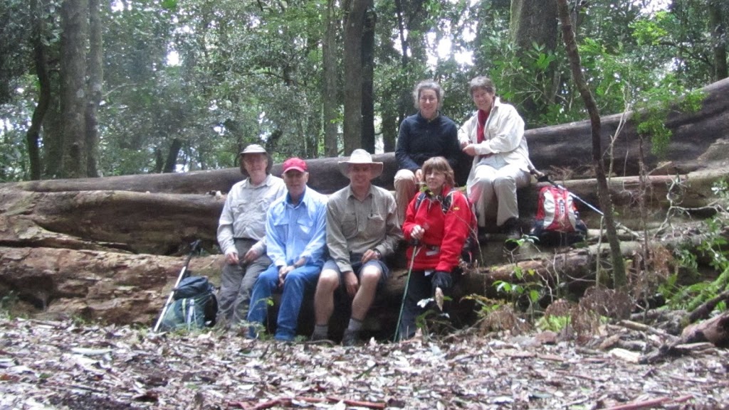 |
| We made it back to the end of the 4WD track on the other side. A tree had recently fallen so it made a great spot for a group photo. |
 |
| Time for a break towards the end of the walk. |
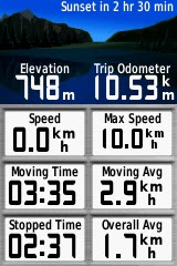
This was a great walk. It was in spectacular country and was a challenge. We made it up to the summit in just over three hours, took forty minutes for lunch and then completed the walk in another two hours. We walked about 10.5km.
Here are some statistics from my GPS:
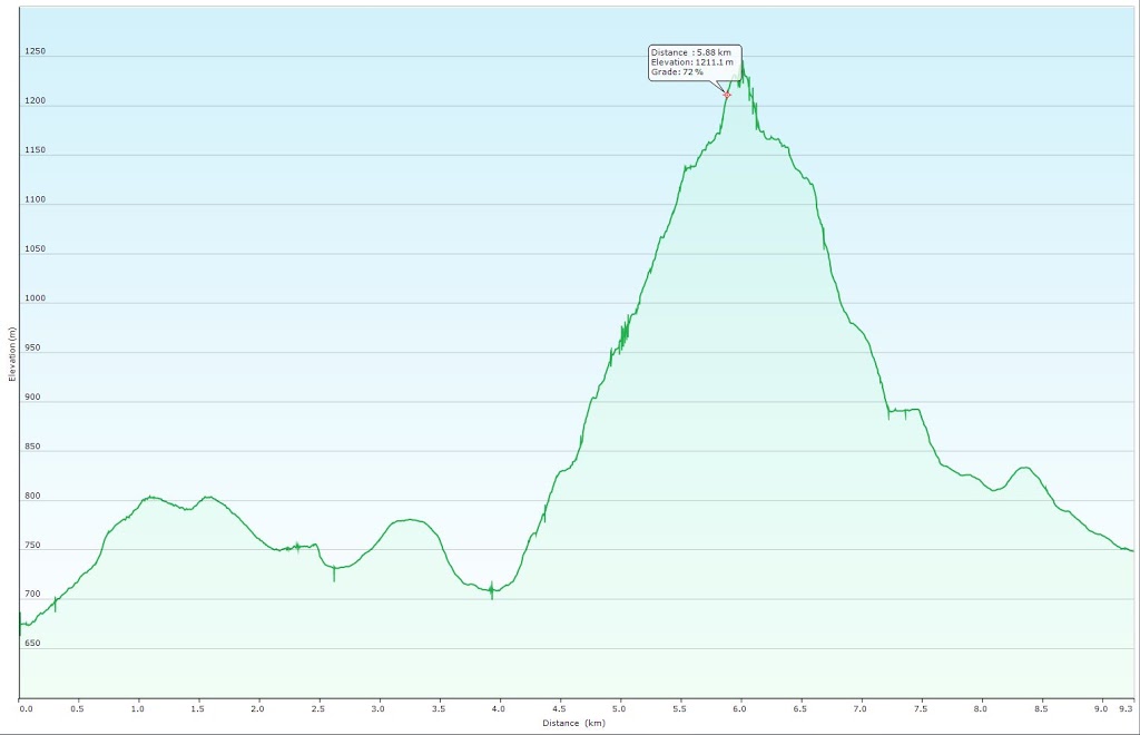 |
| A graph of the elevation through the walk. |
After returning to the cars, we were driven around to the start of the walk to pick those cars up then it was time for home. A hot shower then down town for a coffee. It really was a wonderful way to spend a day.
Ahh, I know what I did wrong Steve.. sorry!
What a great bushwalk.. & lovely pic’e too. I particularly liked the twisted trees and moss as well, lovely part of your world 🙂
Jan
It’s gorgeous up there Jan. It’s all part of the Great Dividing Range…